Alamosa night lights from space
Night Light of Alamosa (Colorado) from space (United States) Src. Average luminocity for 10x10km area is 19.7175% and for 50x50km: 1.3169%.
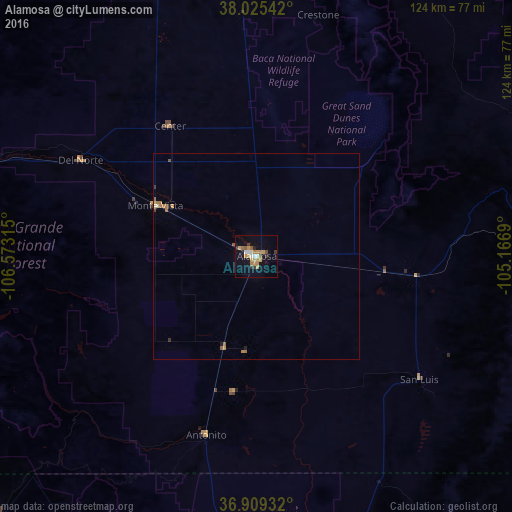
Analysis of Alamosa night lights 2016
Square area 10x10 km:
 1.79%
1.79%90-99
2.11%80-89
1.3%70-79
6.98%60-69
2.6%50-59
2.11%40-49
0.65%30-39
3.25%20-29
1.79%10-19
13.64%0-9
63.8%Square area 50x50 km:
0.07%90-99
0.1%80-89
0.13%70-79
0.35%60-69
0.35%50-59
0.2%40-49
0.05%30-39
0.19%20-29
0.1%10-19
0.63%0-9
97.83%Clear (daylight) street map image can be seen on geolist.org.
Map coordinates:
38° 1' 31.5" North, 106° 34' 23.3" West
37° 28' 10" North, 105° 52' 12.1" West
36° 54' 33.6" North, 105° 10' 0.8" West
Some cities around Alamosa sort by population:
• Pueblo
141 km =87.6 mi,  51°
51°
• Pueblo West
140.4 km =87.2 mi, 45°
• Cañon City
121.2 km =75.3 mi,  26°
26°
• Trinidad
125.6 km =78 mi,  105°
105°
• Raton
141.5 km =87.9 mi,  116°
116°
• Gunnison
151.2 km =94 mi,  322°
322°
• Taos
121 km =75.2 mi,  167°
167°
• Salida
119 km =73.9 mi,  354°
354°
5411479 (p: 9,819)
Sources (retrieved 2019-11-25):
» Earth at Night: Flat Maps 2012, 2016