Trenton night lights from space
Night Light of Trenton (Missouri) from space (United States) Src. Average luminocity for 10x10km area is 13.6753% and for 50x50km: 0.6917%.
Analysis of Trenton night lights 2016
Square area 10x10 km:
 1.95%
1.95%90-99
2.6%80-89
1.95%70-79
1.14%60-69
1.95%50-59
0.16%40-49
1.95%30-39
2.27%20-29
1.62%10-19
1.62%0-9
82.79%Square area 50x50 km:
0.08%90-99
0.1%80-89
0.09%70-79
0.08%60-69
0.08%50-59
0.02%40-49
0.12%30-39
0.11%20-29
0.18%10-19
0.08%0-9
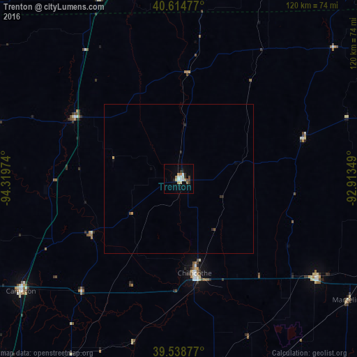
99.06%Clear (daylight) street map image can be seen on geolist.org.
Map coordinates:
40° 36' 53.2" North, 94° 19' 11.1" West
40° 4' 44" North, 93° 36' 59.8" West
39° 32' 19.6" North, 92° 54' 48.6" West
Some cities around Trenton sort by population:
• Kirksville
88.8 km =55.2 mi,  81°
81°
• Excelsior Springs
97.4 km =60.5 mi,  212°
212°
• Cameron
65.2 km =40.5 mi,  234°
234°
• Chillicothe
32 km =19.9 mi,  170°
170°
• Kearney
101.6 km =63.1 mi,  218°
218°
• Richmond
94.2 km =58.5 mi,  199°
199°
• Macon
104.5 km =64.9 mi,  110°
110°
• Centerville
96.2 km =59.8 mi,  40°
40°
5057562 (p: 5,896)
Sources (retrieved 2019-11-25):
» Earth at Night: Flat Maps 2012, 2016