Macon night lights from space
Night Light of Macon (Missouri) from space (United States) Src. Average luminocity for 10x10km area is 15.401% and for 50x50km: 1.0909%.
Analysis of Macon night lights 2016
Square area 10x10 km:
 1.95%
1.95%90-99
2.11%80-89
3.08%70-79
1.3%60-69
0.65%50-59
1.3%40-49
3.08%30-39
3.08%20-29
2.92%10-19
3.57%0-9
76.95%Square area 50x50 km:
0.11%90-99
0.14%80-89
0.24%70-79
0.12%60-69
0.08%50-59
0.08%40-49
0.26%30-39
0.21%20-29
0.2%10-19
0.2%0-9
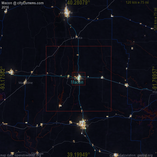
98.37%Clear (daylight) street map image can be seen on geolist.org.
Map coordinates:
40° 16' 50.8" North, 93° 10' 33" West
39° 44' 32.1" North, 92° 28' 21.7" West
39° 11' 58.2" North, 91° 46' 10.5" West
Some cities around Macon sort by population:
• Columbia
88.7 km =55.1 mi,  172°
172°
• Quincy
93.3 km =58 mi,  76°
76°
• Kirksville
51.2 km =31.8 mi,  349°
349°
• Moberly
36.1 km =22.4 mi,  175°
175°
• Marshall
92.8 km =57.7 mi,  222°
222°
• Mexico
81.3 km =50.5 mi,  141°
141°
• Chillicothe
92.5 km =57.5 mi,  273°
273°
• Boonville
88.6 km =55.1 mi,  195°
195°
4396767 (p: 5,436)
Sources (retrieved 2019-11-25):
» Earth at Night: Flat Maps 2012, 2016