Kirksville night lights from space
Night Light of Kirksville (Missouri) from space (United States) Src. Average luminocity for 10x10km area is 27.3409% and for 50x50km: 1.4484%.
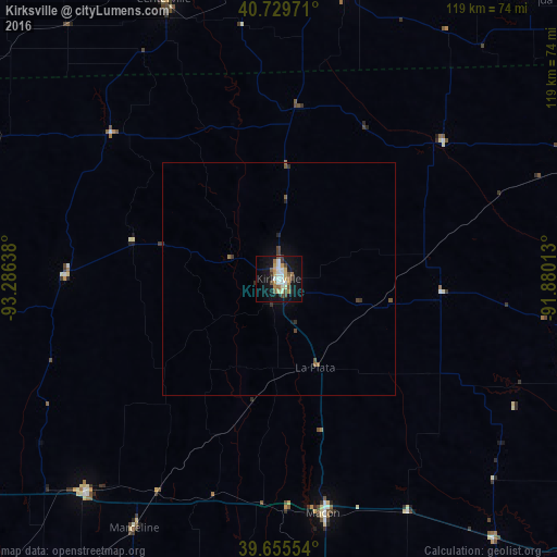
Analysis of Kirksville night lights 2016
Square area 10x10 km:
 4.38%
4.38%90-99
4.87%80-89
3.08%70-79
2.6%60-69
4.55%50-59
3.41%40-49
3.41%30-39
2.92%20-29
0.81%10-19
31.33%0-9
38.64%Square area 50x50 km:
0.18%90-99
0.2%80-89
0.12%70-79
0.1%60-69
0.27%50-59
0.23%40-49
0.23%30-39
0.25%20-29
0.14%10-19
1.34%0-9
96.94%Clear (daylight) street map image can be seen on geolist.org.
Map coordinates:
40° 43' 47" North, 93° 17' 11" West
40° 11' 41.1" North, 92° 34' 59.7" West
39° 39' 19.9" North, 91° 52' 48.5" West
Some cities around Kirksville sort by population:
• Quincy
103.9 km =64.6 mi,  106°
106°
• Ottumwa
92.9 km =57.7 mi,  8°
8°
• Moberly
87.2 km =54.2 mi,  171°
171°
• Keokuk
104.1 km =64.7 mi,  77°
77°
• Chillicothe
93.7 km =58.2 mi,  241°
241°
• Trenton
88.8 km =55.2 mi,  261°
261°
• Macon
51.2 km =31.8 mi, 169°
• Centerville
64.8 km =40.3 mi,  337°
337°
5055787 (p: 17,520)
Sources (retrieved 2019-11-25):
» Earth at Night: Flat Maps 2012, 2016