Richmond night lights from space
Night Light of Richmond (Missouri) from space (United States) Src. Average luminocity for 10x10km area is 13.551% and for 50x50km: 3.183%.
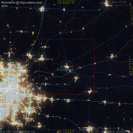
Analysis of Richmond night lights 2016
Square area 10x10 km:
 1.36%
1.36%90-99
1.36%80-89
1.02%70-79
1.36%60-69
2.21%50-59
4.25%40-49
1.87%30-39
3.57%20-29
1.36%10-19
1.02%0-9
80.61%Square area 50x50 km:
0.2%90-99
0.31%80-89
0.46%70-79
0.37%60-69
0.47%50-59
0.48%40-49
0.39%30-39
0.93%20-29
0.57%10-19
1.59%0-9
94.24%Clear (daylight) street map image can be seen on geolist.org.
Map coordinates:
39° 49' 14.8" North, 94° 40' 48.1" West
39° 16' 43" North, 93° 58' 36.8" West
38° 43' 56.1" North, 93° 16' 25.6" West
Some cities around Richmond sort by population:
• East Independence
38.4 km =23.9 mi,  238°
238°
• Blue Springs
39.2 km =24.4 mi,  222°
222°
• Liberty
38.2 km =23.7 mi,  264°
264°
• Grain Valley
35 km =21.7 mi,  213°
213°
• Excelsior Springs
22.5 km =14 mi,  287°
287°
• Kearney
34.6 km =21.5 mi, 286°
• Oak Grove
33.1 km =20.6 mi,  203°
203°
• Odessa
31.1 km =19.3 mi,  176°
176°
4405588 (p: 5,595)
Sources (retrieved 2019-11-25):
» Earth at Night: Flat Maps 2012, 2016