Centerville night lights from space
Night Light of Centerville (Iowa) from space (United States) Src. Average luminocity for 10x10km area is 13.2192% and for 50x50km: 0.7405%.
Analysis of Centerville night lights 2016
Square area 10x10 km:
 0.97%
0.97%90-99
0.97%80-89
3.25%70-79
1.95%60-69
1.95%50-59
1.3%40-49
1.95%30-39
3.25%20-29
0.16%10-19
1.3%0-9
82.95%Square area 50x50 km:
0.04%90-99
0.04%80-89
0.17%70-79
0.09%60-69
0.08%50-59
0.07%40-49
0.18%30-39
0.23%20-29
0.13%10-19
0.11%0-9
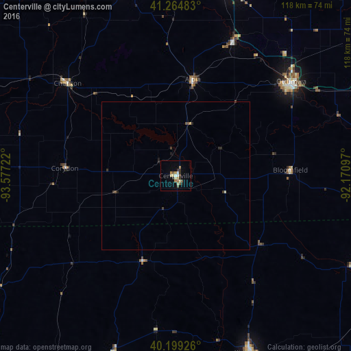
98.86%Clear (daylight) street map image can be seen on geolist.org.
Map coordinates:
41° 15' 53.4" North, 93° 34' 38" West
40° 44' 3" North, 92° 52' 26.7" West
40° 11' 57.3" North, 92° 10' 15.5" West
Some cities around Centerville sort by population:
• Ottumwa
50.2 km =31.2 mi,  50°
50°
• Kirksville
64.8 km =40.3 mi,  157°
157°
• Indianola
90 km =55.9 mi,  320°
320°
• Oskaloosa
65.4 km =40.6 mi,  17°
17°
• Pella
75 km =46.6 mi,  357°
357°
• Fairfield
82.5 km =51.3 mi,  68°
68°
• Knoxville
68.1 km =42.3 mi,  343°
343°
• Trenton
96.2 km =59.8 mi,  220°
220°
4850961 (p: 5,372)
Sources (retrieved 2019-11-25):
» Earth at Night: Flat Maps 2012, 2016