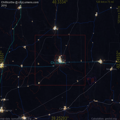
Chillicothe night lights from space
Night Light of Chillicothe (Missouri) from space (United States) Src. Average luminocity for 10x10km area is 22.7262% and for 50x50km: 1.2362%.
Analysis of Chillicothe night lights 2016
Square area 10x10 km:
 3.74%
3.74%90-99
4.25%80-89
2.55%70-79
1.36%60-69
2.89%50-59
3.4%40-49
2.21%30-39
3.57%20-29
2.89%10-19
18.2%0-9
54.93%Square area 50x50 km:
0.15%90-99
0.17%80-89
0.15%70-79
0.08%60-69
0.14%50-59
0.21%40-49
0.23%30-39
0.19%20-29
0.25%10-19
0.74%0-9
97.68%Clear (daylight) street map image can be seen on geolist.org.
Map coordinates:
40° 20' 0.2" North, 94° 15' 20.1" West
39° 47' 43" North, 93° 33' 8.8" West
39° 15' 10.5" North, 92° 50' 57.6" West
Some cities around Chillicothe sort by population:
• Kirksville
93.7 km =58.2 mi,  61°
61°
• Marshall
80.7 km =50.1 mi,  157°
157°
• Excelsior Springs
76.8 km =47.7 mi,  228°
228°
• Cameron
59.2 km =36.8 mi,  264°
264°
• Kearney
84.1 km =52.3 mi,  235°
235°
• Trenton
32 km =19.9 mi,  350°
350°
• Richmond
68 km =42.3 mi,  212°
212°
• Macon
92.5 km =57.5 mi,  93°
93°
4381104 (p: 9,487)
Sources (retrieved 2019-11-25):
» Earth at Night: Flat Maps 2012, 2016