Torrington night lights from space
Night Light of Torrington (Wyoming) from space (United States) Src. Average luminocity for 10x10km area is 15.5635% and for 50x50km: 0.9396%.
Analysis of Torrington night lights 2016
Square area 10x10 km:
 2.22%
2.22%90-99
3.49%80-89
0.63%70-79
2.54%60-69
0.63%50-59
1.9%40-49
2.86%30-39
2.86%20-29
0%10-19
4.6%0-9
78.25%Square area 50x50 km:
0.11%90-99
0.16%80-89
0.07%70-79
0.16%60-69
0.09%50-59
0.14%40-49
0.16%30-39
0.16%20-29
0.03%10-19
0.18%0-9
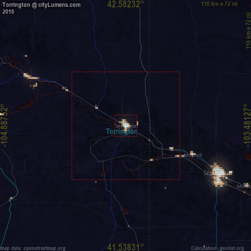
98.74%Clear (daylight) street map image can be seen on geolist.org.
Map coordinates:
42° 34' 56.4" North, 104° 53' 15.1" West
42° 3' 44.9" North, 104° 11' 3.8" West
41° 32' 17.9" North, 103° 28' 52.6" West
Some cities around Torrington sort by population:
• Cheyenne
115.4 km =71.7 mi,  207°
207°
• Scottsbluff
48 km =29.8 mi,  116°
116°
• Alliance
108.4 km =67.4 mi,  87°
87°
• Gering
50.7 km =31.5 mi, 121°
• Sidney
143.2 km =89 mi,  135°
135°
• Douglas
125.2 km =77.8 mi,  308°
308°
• Ranchettes
106.5 km =66.2 mi, 208°
• Chadron
129.3 km =80.3 mi,  48°
48°
5841207 (p: 6,669)
Sources (retrieved 2019-11-25):
» Earth at Night: Flat Maps 2012, 2016