Sidney night lights from space
Night Light of Sidney (Nebraska) from space (United States) Src. Average luminocity for 10x10km area is 21.6867% and for 50x50km: 1.111%.
Analysis of Sidney night lights 2016
Square area 10x10 km:
 2.6%
2.6%90-99
2.44%80-89
3.73%70-79
3.25%60-69
5.36%50-59
0.16%40-49
1.95%30-39
1.79%20-29
3.73%10-19
15.91%0-9
59.09%Square area 50x50 km:
0.1%90-99
0.1%80-89
0.17%70-79
0.14%60-69
0.23%50-59
0.07%40-49
0.15%30-39
0.15%20-29
0.23%10-19
0.68%0-9
97.97%Clear (daylight) street map image can be seen on geolist.org.
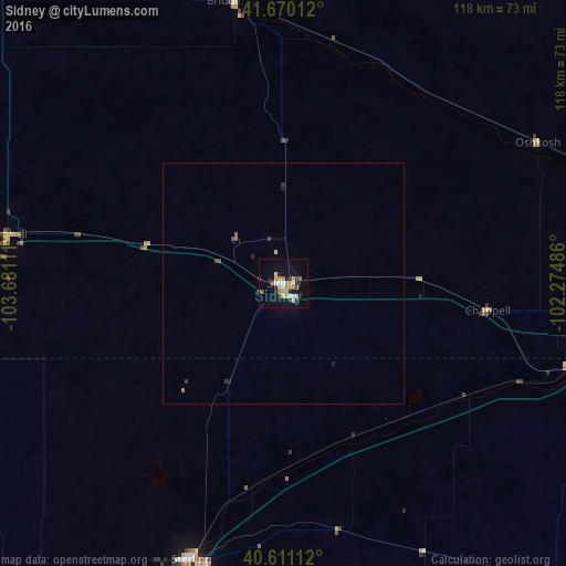
Map coordinates:
41° 40' 12.4" North, 103° 40' 52" West
41° 8' 33.9" North, 102° 58' 40.7" West
40° 36' 40" North, 102° 16' 29.5" West
Some cities around Sidney sort by population:
• Scottsbluff
98.9 km =61.5 mi,  324°
324°
• Sterling
60.7 km =37.7 mi,  198°
198°
• Fort Morgan
121 km =75.2 mi,  214°
214°
• Alliance
107 km =66.5 mi,  4°
4°
• Gering
94.9 km =59 mi, 323°
• Torrington
143.2 km =89 mi, 315°
• Ranchettes
151.9 km =94.4 mi,  273°
273°
• Brush
112.4 km =69.8 mi, 208°
5699552 (p: 6,942)
Sources (retrieved 2019-11-25):
» Earth at Night: Flat Maps 2012, 2016