Scottsbluff night lights from space
Night Light of Scottsbluff (Nebraska) from space (United States) Src. Average luminocity for 10x10km area is 42.7794% and for 50x50km: 2.8338%.
Analysis of Scottsbluff night lights 2016
Square area 10x10 km:
 9.68%
9.68%90-99
9.05%80-89
5.24%70-79
3.49%60-69
5.71%50-59
4.76%40-49
4.13%30-39
3.17%20-29
11.43%10-19
32.22%0-9
11.11%Square area 50x50 km:
0.45%90-99
0.41%80-89
0.36%70-79
0.34%60-69
0.43%50-59
0.27%40-49
0.31%30-39
0.28%20-29
0.6%10-19
2.32%0-9
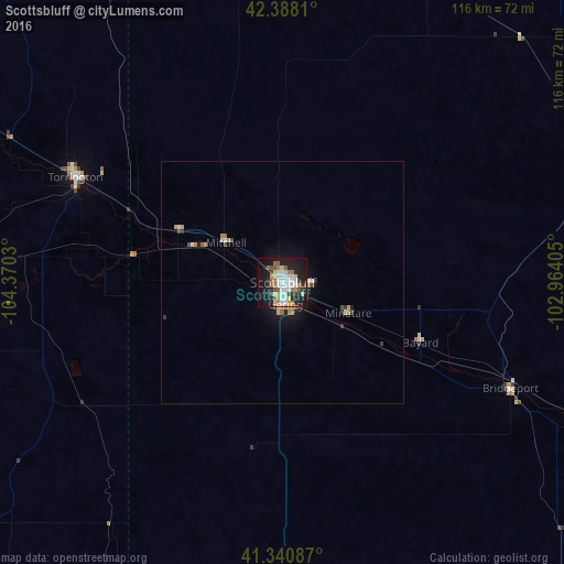
94.24%Clear (daylight) street map image can be seen on geolist.org.
Map coordinates:
42° 23' 17.2" North, 104° 22' 13.1" West
41° 51' 59.9" North, 103° 40' 1.8" West
41° 20' 27.1" North, 102° 57' 50.6" West
Some cities around Scottsbluff sort by population:
• Cheyenne
125.5 km =78 mi,  229°
229°
• Sterling
143.2 km =89 mi,  164°
164°
• Alliance
70.7 km =43.9 mi,  68°
68°
• Gering
4.6 km =2.9 mi,  173°
173°
• Sidney
98.9 km =61.5 mi,  144°
144°
• Torrington
48 km =29.8 mi,  296°
296°
• Ranchettes
118 km =73.3 mi, 232°
• Chadron
120.3 km =74.8 mi,  27°
27°
5699404 (p: 14,802)
Sources (retrieved 2019-11-25):
» Earth at Night: Flat Maps 2012, 2016