Torrance night lights from space
Night Light of Torrance (California) from space (United States) Src. Average luminocity for 10x10km area is 94.8234% and for 50x50km: 51.7021%.
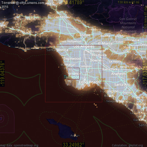
Analysis of Torrance night lights 2016
Square area 10x10 km:
 62.06%
90-99
24.3%80-89
2.8%70-79
1.75%60-69
3.85%50-59
4.72%40-49
0.52%30-39
0%20-29
0%10-19
0%0-9
0%Square area 50x50 km:
33.18%90-99
10.9%80-89
1.62%70-79
1.22%60-69
2.19%50-59
1.99%40-49
1.6%30-39
1.64%20-29
3.04%10-19
4.97%0-9
37.64%Clear (daylight) street map image can be seen on geolist.org.
Map coordinates:
34° 25' 4.4" North, 119° 2' 37.5" West
33° 50' 9.1" North, 118° 20' 26.3" West
33° 14' 59.4" North, 117° 38' 15" West
Some cities around Torrance sort by population:
• Carson
5.4 km =3.4 mi,  95°
95°
• Redondo Beach
4.7 km =2.9 mi,  288°
288°
• Lawndale
5.8 km =3.6 mi,  349°
349°
• West Carson
4.7 km =2.9 mi,  109°
109°
• Lomita
5.4 km =3.4 mi,  154°
154°
• Palos Verdes Estates
6.2 km =3.9 mi,  231°
231°
• Alondra Park
6 km =3.7 mi,  8°
8°
• Rolling Hills Estates
5.6 km =3.5 mi,  196°
196°
5403022 (p: 148,475)
Sources (retrieved 2019-11-25):
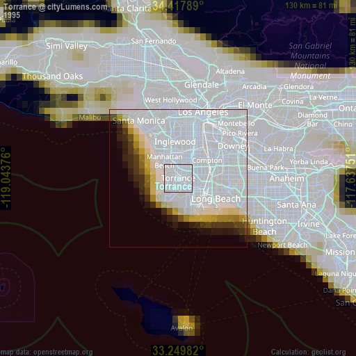
» NASA, Earths city lights 1995
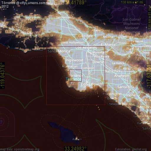
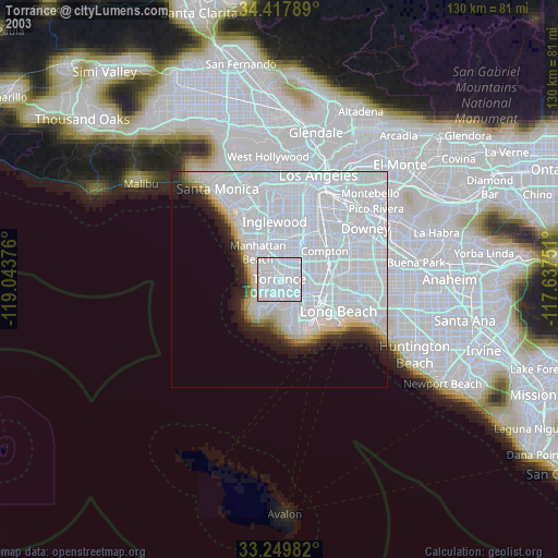
» NASA city lights 2003
» Earth at Night: Flat Maps 2012, 2016