Rolling Hills Estates night lights from space
Night Light of Rolling Hills Estates (California) from space (United States) Src. Average luminocity for 10x10km area is 72.7343% and for 50x50km: 40.9775%.
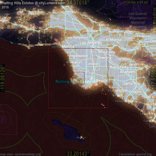
Analysis of Rolling Hills Estates night lights 2016
Square area 10x10 km:
 22.2%
22.2%90-99
12.94%80-89
4.72%70-79
6.47%60-69
20.45%50-59
19.41%40-49
8.92%30-39
2.8%20-29
2.1%10-19
0%0-9
0%Square area 50x50 km:
26.04%90-99
8.59%80-89
1.15%70-79
0.83%60-69
1.76%50-59
1.81%40-49
1.52%30-39
1.55%20-29
2.7%10-19
4.33%0-9
49.72%Clear (daylight) street map image can be seen on geolist.org.
Map coordinates:
34° 22' 12.6" North, 119° 3' 40.5" West
33° 47' 16" North, 118° 21' 29.3" West
33° 12' 5.1" North, 117° 39' 18" West
Some cities around Rolling Hills Estates sort by population:
• Torrance
5.6 km =3.5 mi,  16°
16°
• Carson
8.5 km =5.3 mi,  55°
55°
• San Pedro
8.4 km =5.2 mi,  133°
133°
• Redondo Beach
7.4 km =4.6 mi,  337°
337°
• Rancho Palos Verdes
5.5 km =3.4 mi,  208°
208°
• West Carson
7.1 km =4.4 mi, 58°
• Lomita
4 km =2.5 mi,  82°
82°
• Palos Verdes Estates
3.5 km =2.2 mi,  294°
294°
5388601 (p: 8,258)
Sources (retrieved 2019-11-25):
» Earth at Night: Flat Maps 2012, 2016