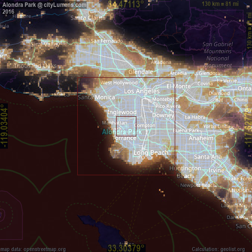
Alondra Park night lights from space
Night Light of Alondra Park (California) from space (United States) Src. Average luminocity for 10x10km area is 99.6538% and for 50x50km: 63.3261%.
Analysis of Alondra Park night lights 2016
Square area 10x10 km:
 84.79%
90-99
14.51%80-89
0.7%70-79
0%60-69
0%50-59
0%40-49
0%30-39
0%20-29
0%10-19
0%0-9
0%Square area 50x50 km:
39.23%90-99
13.73%80-89
2.79%70-79
1.92%60-69
3.05%50-59
2.45%40-49
2.01%30-39
1.99%20-29
3.81%10-19
5.33%0-9
23.69%Clear (daylight) street map image can be seen on geolist.org.
Map coordinates:
34° 28' 16.1" North, 119° 2' 2.5" West
33° 53' 22.1" North, 118° 19' 51.3" West
33° 18' 13.6" North, 117° 37' 40" West
Some cities around Alondra Park sort by population:
• Torrance
6 km =3.7 mi,  188°
188°
• Hawthorne
3.6 km =2.2 mi,  326°
326°
• Gardena
2 km =1.2 mi,  93°
93°
• Lawndale
2 km =1.2 mi,  262°
262°
• Lennox
5.8 km =3.6 mi,  339°
339°
• Del Aire
4.6 km =2.9 mi,  309°
309°
• West Athens
4.5 km =2.8 mi,  33°
33°
• West Rancho Dominguez
5.6 km =3.5 mi,  84°
84°
5323371 (p: 8,592)
Sources (retrieved 2019-11-25):
» Earth at Night: Flat Maps 2012, 2016