Carson night lights from space
Night Light of Carson (California) from space (United States) Src. Average luminocity for 10x10km area is 99.6783% and for 50x50km: 59.5055%.
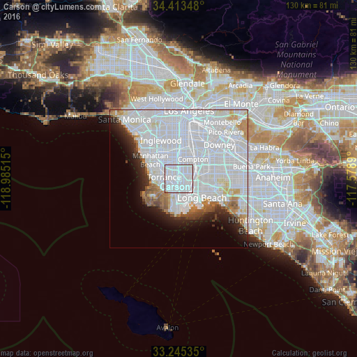
Analysis of Carson night lights 2016
Square area 10x10 km:
 86.19%
90-99
13.29%80-89
0%70-79
0.52%60-69
0%50-59
0%40-49
0%30-39
0%20-29
0%10-19
0%0-9
0%Square area 50x50 km:
36.84%90-99
13.39%80-89
2.14%70-79
2.21%60-69
2.69%50-59
2.12%40-49
1.71%30-39
1.69%20-29
3.5%10-19
5%0-9
28.7%Clear (daylight) street map image can be seen on geolist.org.
Map coordinates:
34° 24' 48.5" North, 118° 59' 6.5" West
33° 49' 53.1" North, 118° 16' 55.3" West
33° 14' 43.3" North, 117° 34' 44" West
Some cities around Carson sort by population:
• Torrance
5.4 km =3.4 mi,  275°
275°
• Gardena
6.8 km =4.2 mi,  338°
338°
• Lawndale
9 km =5.6 mi,  313°
313°
• West Carson
1.5 km =0.9 mi,  222°
222°
• Lomita
5.3 km =3.3 mi, 215°
• Alondra Park
7.9 km =4.9 mi,  325°
325°
• Rolling Hills Estates
8.5 km =5.3 mi,  235°
235°
• West Rancho Dominguez
7 km =4.3 mi,  8°
8°
5334519 (p: 93,281)
Sources (retrieved 2019-11-25):
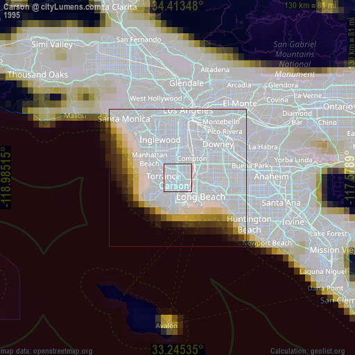
» NASA, Earths city lights 1995
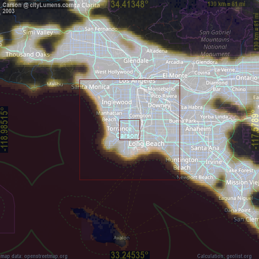
» NASA city lights 2003
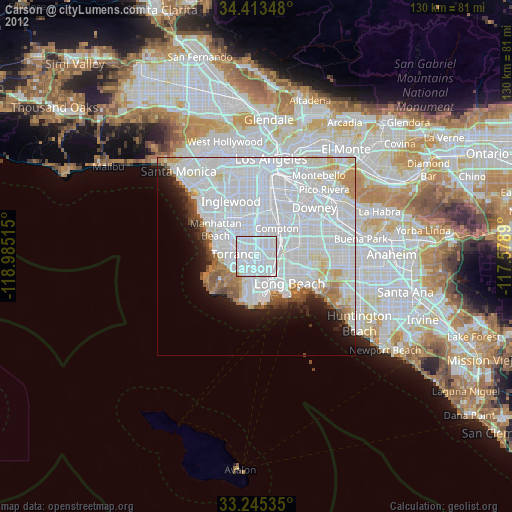
» Earth at Night: Flat Maps 2012, 2016