Redondo Beach night lights from space
Night Light of Redondo Beach (California) from space (United States) Src. Average luminocity for 10x10km area is 70.278% and for 50x50km: 48.0429%.
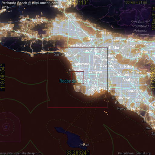
Analysis of Redondo Beach night lights 2016
Square area 10x10 km:
 28.67%
90-99
25.17%80-89
2.45%70-79
2.45%60-69
4.9%50-59
3.15%40-49
2.27%30-39
7.52%20-29
13.81%10-19
9.44%0-9
0.17%Square area 50x50 km:
32.17%90-99
8.92%80-89
0.95%70-79
0.96%60-69
2.19%50-59
2.07%40-49
1.71%30-39
1.65%20-29
2.81%10-19
4.99%0-9
41.57%Clear (daylight) street map image can be seen on geolist.org.
Map coordinates:
34° 25' 52.1" North, 119° 5' 29.5" West
33° 50' 57" North, 118° 23' 18.3" West
33° 15' 47.7" North, 117° 41' 7" West
Some cities around Redondo Beach sort by population:
• Torrance
4.7 km =2.9 mi,  108°
108°
• Manhattan Beach
4.5 km =2.8 mi,  332°
332°
• Lawndale
5.4 km =3.4 mi,  38°
38°
• Hermosa Beach
1.8 km =1.1 mi,  324°
324°
• Palos Verdes Estates
5.4 km =3.4 mi,  183°
183°
• Del Aire
7.6 km =4.7 mi,  13°
13°
• Alondra Park
6.9 km =4.3 mi,  49°
49°
• Rolling Hills Estates
7.4 km =4.6 mi,  157°
157°
5386785 (p: 68,166)
Sources (retrieved 2019-11-25):
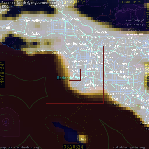
» NASA, Earths city lights 1995
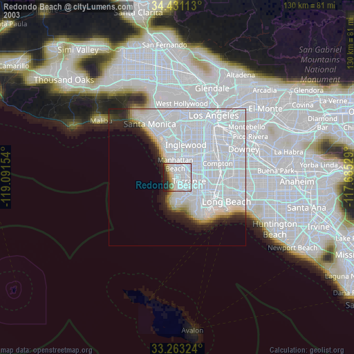
» NASA city lights 2003
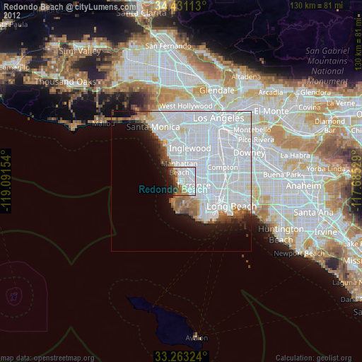
» Earth at Night: Flat Maps 2012, 2016