West Carson night lights from space
Night Light of West Carson (California) from space (United States) Src. Average luminocity for 10x10km area is 98.6678% and for 50x50km: 55.9381%.
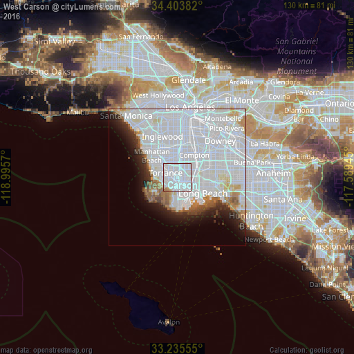
Analysis of West Carson night lights 2016
Square area 10x10 km:
 79.02%
90-99
17.48%80-89
0%70-79
1.22%60-69
2.27%50-59
0%40-49
0%30-39
0%20-29
0%10-19
0%0-9
0%Square area 50x50 km:
34.82%90-99
12.46%80-89
1.84%70-79
1.79%60-69
2.59%50-59
2.09%40-49
1.71%30-39
1.67%20-29
3.43%10-19
5.04%0-9
32.54%Clear (daylight) street map image can be seen on geolist.org.
Map coordinates:
34° 24' 13.8" North, 118° 59' 44.5" West
33° 49' 18" North, 118° 17' 33.3" West
33° 14' 8" North, 117° 35' 22" West
Some cities around West Carson sort by population:
• Torrance
4.7 km =2.9 mi,  289°
289°
• Carson
1.5 km =0.9 mi,  42°
42°
• Redondo Beach
9.4 km =5.8 mi, 289°
• Gardena
7.6 km =4.7 mi,  348°
348°
• Lawndale
9.2 km =5.7 mi,  322°
322°
• Lomita
3.9 km =2.4 mi,  212°
212°
• Alondra Park
8.3 km =5.2 mi,  334°
334°
• Rolling Hills Estates
7.1 km =4.4 mi,  238°
238°
5407908 (p: 21,699)
Sources (retrieved 2019-11-25):
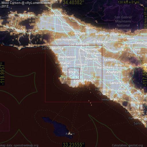
» Earth at Night: Flat Maps 2012, 2016