Thomasville night lights from space
Night Light of Thomasville (North Carolina) from space (United States) Src. Average luminocity for 10x10km area is 70.9579% and for 50x50km: 44.8904%.
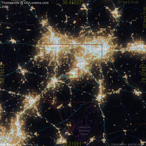
Analysis of Thomasville night lights 2016
Square area 10x10 km:
 9.16%
9.16%90-99
11.54%80-89
18.68%70-79
19.78%60-69
14.65%50-59
6.23%40-49
7.88%30-39
8.24%20-29
3.3%10-19
0.55%0-9
0%Square area 50x50 km:
7.69%90-99
7.5%80-89
7.72%70-79
7.8%60-69
7.28%50-59
5.44%40-49
6.67%30-39
6.9%20-29
8.4%10-19
13.93%0-9
20.67%Clear (daylight) street map image can be seen on geolist.org.
Map coordinates:
36° 27' 1" North, 80° 47' 6.4" West
35° 52' 57.5" North, 80° 4' 55.2" West
35° 18' 39.3" North, 79° 22' 43.9" West
Some cities around Thomasville sort by population:
• Winston-Salem
28.2 km =17.5 mi,  328°
328°
• High Point
10.7 km =6.6 mi,  40°
40°
• Asheboro
31 km =19.3 mi,  128°
128°
• Kernersville
26.4 km =16.4 mi,  1°
1°
• Clemmons
31.1 km =19.3 mi,  299°
299°
• Lexington
16.8 km =10.4 mi,  247°
247°
• Archdale
10.5 km =6.5 mi,  70°
70°
• Trinity
8.3 km =5.2 mi,  80°
80°
4494942 (p: 27,061)
Sources (retrieved 2019-11-25):
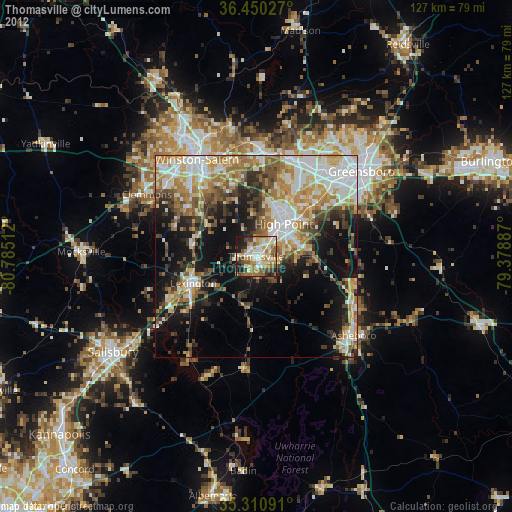
» Earth at Night: Flat Maps 2012, 2016