High Point night lights from space
Night Light of High Point (North Carolina) from space (United States) Src. Average luminocity for 10x10km area is 91.4689% and for 50x50km: 54.4393%.
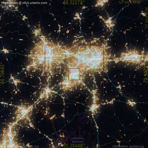
Analysis of High Point night lights 2016
Square area 10x10 km:
 33.7%
33.7%90-99
33.88%80-89
11.54%70-79
13.74%60-69
6.23%50-59
0.92%40-49
0%30-39
0%20-29
0%10-19
0%0-9
0%Square area 50x50 km:
10.06%90-99
10.01%80-89
9.73%70-79
9.92%60-69
9.51%50-59
6.47%40-49
6.93%30-39
6.59%20-29
7.82%10-19
12.17%0-9
10.8%Clear (daylight) street map image can be seen on geolist.org.
Map coordinates:
36° 31' 22" North, 80° 42' 30.4" West
35° 57' 20.5" North, 80° 0' 19.2" West
35° 23' 4.1" North, 79° 18' 7.9" West
Some cities around High Point sort by population:
• Greensboro
23.2 km =14.4 mi,  55°
55°
• Winston-Salem
26.8 km =16.7 mi,  306°
306°
• Thomasville
10.7 km =6.6 mi,  220°
220°
• Kernersville
19.3 km =12 mi,  341°
341°
• Lexington
26.7 km =16.6 mi,  236°
236°
• Archdale
5.5 km =3.4 mi,  146°
146°
• Oak Ridge
24.3 km =15.1 mi,  3°
3°
• Trinity
6.9 km =4.3 mi,  169°
169°
4471025 (p: 110,268)
Sources (retrieved 2019-11-25):
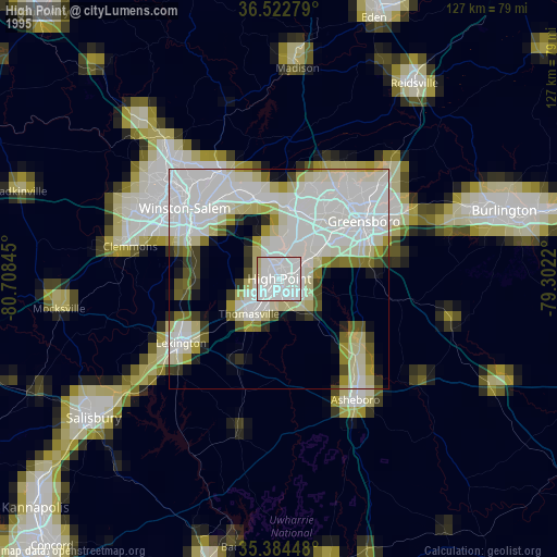
» NASA, Earths city lights 1995
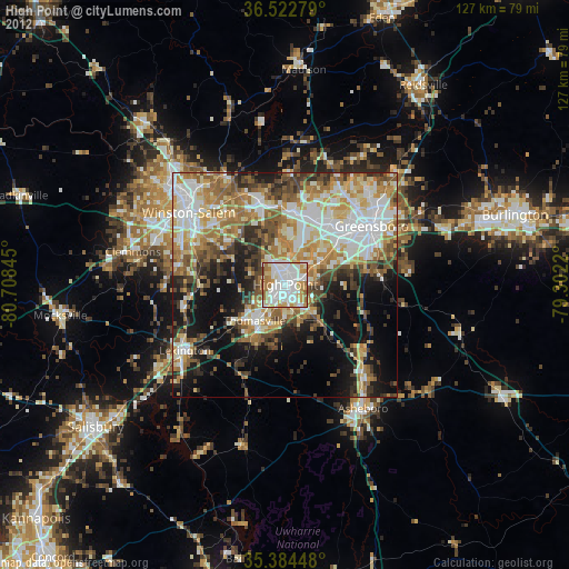
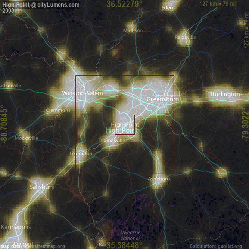
» NASA city lights 2003
» Earth at Night: Flat Maps 2012, 2016