Kernersville night lights from space
Night Light of Kernersville (North Carolina) from space (United States) Src. Average luminocity for 10x10km area is 73.8352% and for 50x50km: 49.8397%.
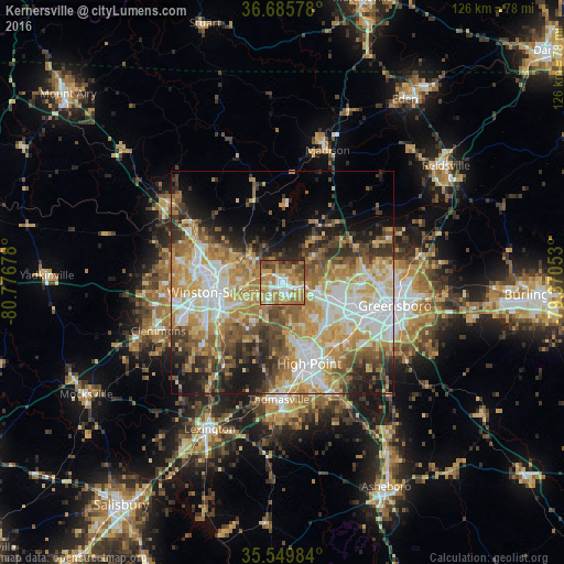
Analysis of Kernersville night lights 2016
Square area 10x10 km:
 10.81%
90-99
14.47%80-89
11.72%70-79
19.96%60-69
23.08%50-59
6.59%40-49
9.71%30-39
2.2%20-29
1.47%10-19
0%0-9
0%Square area 50x50 km:
9.18%90-99
9.04%80-89
8.93%70-79
9.49%60-69
8.67%50-59
6.09%40-49
6.44%30-39
6.04%20-29
6.62%10-19
8.53%0-9
20.98%Clear (daylight) street map image can be seen on geolist.org.
Map coordinates:
36° 41' 8.8" North, 80° 46' 36.4" West
36° 7' 11.5" North, 80° 4' 25.1" West
35° 32' 59.4" North, 79° 22' 13.9" West
Some cities around Kernersville sort by population:
• Greensboro
25.8 km =16 mi,  101°
101°
• Winston-Salem
15.5 km =9.6 mi,  261°
261°
• High Point
19.3 km =12 mi,  161°
161°
• Archdale
24.6 km =15.3 mi, 158°
• Summerfield
18.1 km =11.2 mi,  56°
56°
• Oak Ridge
9.7 km =6 mi,  51°
51°
• Trinity
26.1 km =16.2 mi, 163°
• Stokesdale
15.5 km =9.6 mi,  32°
32°
4474221 (p: 23,811)
Sources (retrieved 2019-11-25):
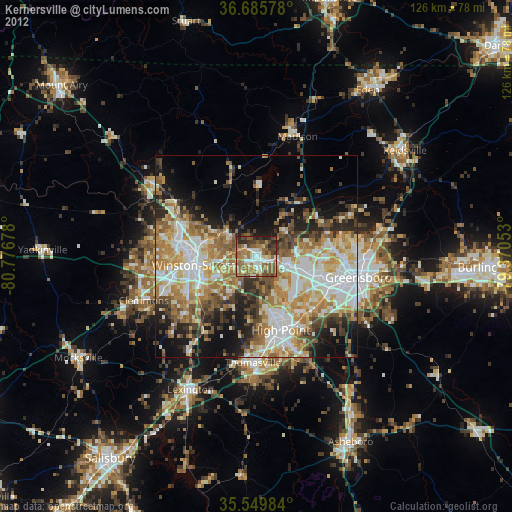
» Earth at Night: Flat Maps 2012, 2016