Asheboro night lights from space
Night Light of Asheboro (North Carolina) from space (United States) Src. Average luminocity for 10x10km area is 52.8986% and for 50x50km: 13.6202%.
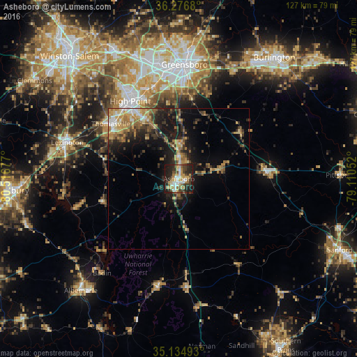
Analysis of Asheboro night lights 2016
Square area 10x10 km:
 7.69%
7.69%90-99
8.22%80-89
9.62%70-79
8.92%60-69
6.99%50-59
5.94%40-49
8.74%30-39
11.89%20-29
19.06%10-19
12.94%0-9
0%Square area 50x50 km:
1.02%90-99
1.2%80-89
2.38%70-79
2.22%60-69
2.4%50-59
1.7%40-49
1.84%30-39
3.66%20-29
4.16%10-19
8.96%0-9
70.44%Clear (daylight) street map image can be seen on geolist.org.
Map coordinates:
36° 16' 36.5" North, 80° 31' 0.4" West
35° 42' 28.5" North, 79° 48' 49.1" West
35° 8' 5.7" North, 79° 6' 37.9" West
Some cities around Asheboro sort by population:
• Greensboro
40.6 km =25.2 mi,  2°
2°
• High Point
32.5 km =20.2 mi,  327°
327°
• Thomasville
31 km =19.3 mi,  308°
308°
• Lexington
41.7 km =25.9 mi,  288°
288°
• Archdale
27.1 km =16.8 mi, 328°
• Siler City
31.8 km =19.8 mi,  86°
86°
• Gibsonville
50.5 km =31.4 mi,  28°
28°
• Trinity
26.2 km =16.3 mi,  322°
322°
4453035 (p: 26,103)
Sources (retrieved 2019-11-25):
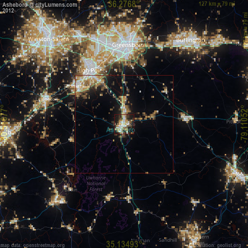
» Earth at Night: Flat Maps 2012, 2016