Thief River Falls night lights from space
Night Light of Thief River Falls (Minnesota) from space (United States) Src. Average luminocity for 10x10km area is 19.6027% and for 50x50km: 0.901%.
Analysis of Thief River Falls night lights 2016
Square area 10x10 km:
 2.68%
2.68%90-99
6.1%80-89
1.93%70-79
1.19%60-69
1.49%50-59
1.49%40-49
3.57%30-39
0%20-29
0.6%10-19
17.86%0-9
63.1%Square area 50x50 km:
0.12%90-99
0.25%80-89
0.07%70-79
0.06%60-69
0.09%50-59
0.06%40-49
0.16%30-39
0.05%20-29
0.05%10-19
0.7%0-9
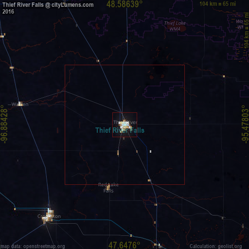
98.4%Clear (daylight) street map image can be seen on geolist.org.
Map coordinates:
48° 35' 11" North, 96° 53' 3.4" West
48° 7' 8.9" North, 96° 10' 52.1" West
47° 38' 51.4" North, 95° 28' 40.9" West
Some cities around Thief River Falls sort by population:
• Fargo
145.5 km =90.4 mi,  198°
198°
• Grand Forks
66.9 km =41.6 mi,  251°
251°
• Moorhead
145.3 km =90.3 mi, 197°
• West Fargo
148.5 km =92.3 mi, 201°
• Bemidji
120.8 km =75.1 mi,  126°
126°
• Detroit Lakes
146.9 km =91.3 mi,  170°
170°
• East Grand Forks
66.1 km =41.1 mi, 251°
• Crookston
49.8 km =30.9 mi,  219°
219°
5049970 (p: 8,752)
Sources (retrieved 2019-11-25):
» Earth at Night: Flat Maps 2012, 2016