San Gabriel night lights from space
Night Light of San Gabriel (California) from space (United States) Src. Average luminocity for 10x10km area is 94.6996% and for 50x50km: 70.8872%.
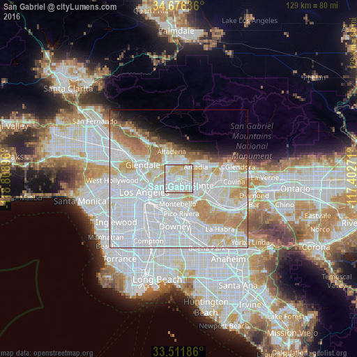
Analysis of San Gabriel night lights 2016
Square area 10x10 km:
 38.1%
38.1%90-99
36.08%80-89
20.33%70-79
5.49%60-69
0%50-59
0%40-49
0%30-39
0%20-29
0%10-19
0%0-9
0%Square area 50x50 km:
36.83%90-99
16.46%80-89
6.02%70-79
7.21%60-69
5.81%50-59
2.68%40-49
1.53%30-39
1.33%20-29
1.88%10-19
3.86%0-9
16.39%Clear (daylight) street map image can be seen on geolist.org.
Map coordinates:
34° 40' 34.9" North, 118° 48' 32.3" West
34° 5' 46" North, 118° 6' 21" West
33° 30' 42.7" North, 117° 24' 9.8" West
Some cities around San Gabriel sort by population:
• Alhambra
2 km =1.2 mi,  267°
267°
• Monterey Park
4.1 km =2.5 mi,  202°
202°
• Rosemead
3.5 km =2.2 mi,  119°
119°
• Temple City
4.6 km =2.9 mi,  74°
74°
• South Pasadena
4.7 km =2.9 mi,  298°
298°
• East San Gabriel
1.4 km =0.9 mi,  110°
110°
• San Marino
2.8 km =1.7 mi,  358°
358°
• South San Gabriel
5.3 km =3.3 mi,  168°
168°
5392034 (p: 40,424)
Sources (retrieved 2019-11-25):
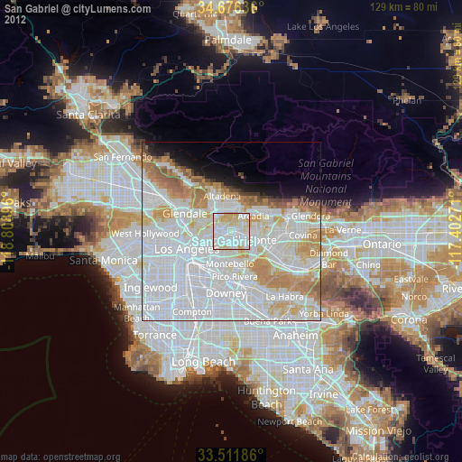
» Earth at Night: Flat Maps 2012, 2016