Sunbury night lights from space
Night Light of Sunbury (Ohio) from space (United States) Src. Average luminocity for 10x10km area is 17.888% and for 50x50km: 26.1414%.
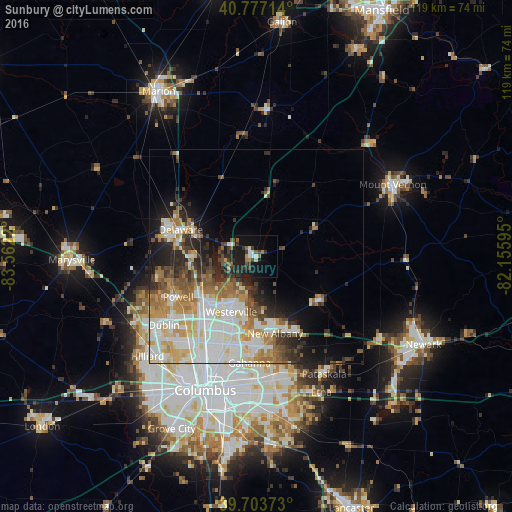
Analysis of Sunbury night lights 2016
Square area 10x10 km:
 1.46%
1.46%90-99
2.44%80-89
0.65%70-79
1.62%60-69
1.79%50-59
2.27%40-49
2.44%30-39
4.71%20-29
6.82%10-19
25.49%0-9
50.32%Square area 50x50 km:
5.87%90-99
6.79%80-89
3.06%70-79
3.27%60-69
3.64%50-59
2.73%40-49
2.45%30-39
2.74%20-29
5.01%10-19
6.64%0-9
57.8%Clear (daylight) street map image can be seen on geolist.org.
Map coordinates:
40° 46' 37.7" North, 83° 33' 43.9" West
40° 14' 33.2" North, 82° 51' 32.7" West
39° 42' 13.4" North, 82° 9' 21.4" West
Some cities around Sunbury sort by population:
• Dublin
26.9 km =16.7 mi,  233°
233°
• Westerville
14.2 km =8.8 mi,  204°
204°
• Delaware
18.8 km =11.7 mi,  289°
289°
• Gahanna
24.9 km =15.5 mi,  183°
183°
• Worthington
21.4 km =13.3 mi,  219°
219°
• Powell
20.6 km =12.8 mi,  242°
242°
• Lewis Center
13.7 km =8.5 mi,  249°
249°
• New Albany
18.4 km =11.4 mi,  166°
166°
5173412 (p: 5,097)
Sources (retrieved 2019-11-25):
» Earth at Night: Flat Maps 2012, 2016