Suitland night lights from space
Night Light of Suitland (Maryland) from space (United States) Src. Average luminocity for 10x10km area is 96.9218% and for 50x50km: 66.6264%.
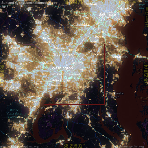
Analysis of Suitland night lights 2016
Square area 10x10 km:
 49.83%
90-99
36.9%80-89
11.22%70-79
1.53%60-69
0.51%50-59
0%40-49
0%30-39
0%20-29
0%10-19
0%0-9
0%Square area 50x50 km:
21.13%90-99
14.9%80-89
10.5%70-79
10.77%60-69
7.96%50-59
6.07%40-49
4.12%30-39
5.34%20-29
4.32%10-19
4.95%0-9
9.92%Clear (daylight) street map image can be seen on geolist.org.
Map coordinates:
39° 23' 39.2" North, 77° 37' 37.2" West
38° 50' 55.4" North, 76° 55' 25.9" West
38° 17' 56.5" North, 76° 13' 14.7" West
Some cities around Suitland sort by population:
• Hillcrest Heights
3.5 km =2.2 mi,  240°
240°
• Forestville
4.3 km =2.7 mi,  95°
95°
• Walker Mill
4.3 km =2.7 mi,  46°
46°
• Coral Hills
2.4 km =1.5 mi,  5°
5°
• Temple Hills
4.3 km =2.7 mi,  205°
205°
• District Heights
3.1 km =1.9 mi,  71°
71°
• Silver Hill
2.1 km =1.3 mi,  247°
247°
• Marlow Heights
2.9 km =1.8 mi,  234°
234°
4370616 (p: 25,825)
Sources (retrieved 2019-11-25):
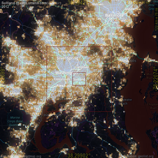
» Earth at Night: Flat Maps 2012, 2016