District Heights night lights from space
Night Light of District Heights (Maryland) from space (United States) Src. Average luminocity for 10x10km area is 94.4031% and for 50x50km: 64.7025%.
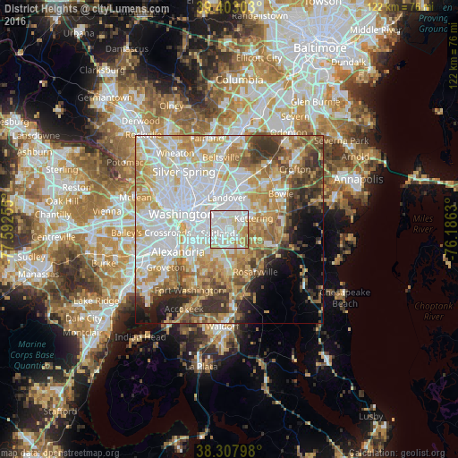
Analysis of District Heights night lights 2016
Square area 10x10 km:
 43.88%
90-99
32.65%80-89
14.46%70-79
6.12%60-69
2.72%50-59
0.17%40-49
0%30-39
0%20-29
0%10-19
0%0-9
0%Square area 50x50 km:
20.34%90-99
14.35%80-89
9.86%70-79
10.02%60-69
7.66%50-59
6.37%40-49
4.73%30-39
5.76%20-29
4.46%10-19
4.83%0-9
11.61%Clear (daylight) street map image can be seen on geolist.org.
Map coordinates:
39° 24' 10.9" North, 77° 35' 33.2" West
38° 51' 27.4" North, 76° 53' 21.9" West
38° 18' 28.7" North, 76° 11' 10.7" West
Some cities around District Heights sort by population:
• Suitland-Silver Hill
3.4 km =2.1 mi,  249°
249°
• Suitland
3.1 km =1.9 mi, 251°
• Forestville
1.9 km =1.2 mi,  138°
138°
• Walker Mill
2 km =1.2 mi,  2°
2°
• Summerfield
5.5 km =3.4 mi,  19°
19°
• Coral Hills
3.1 km =1.9 mi,  297°
297°
• Silver Hill
5.2 km =3.2 mi, 250°
• Marlow Heights
6 km =3.7 mi,  243°
243°
4353463 (p: 6,144)
Sources (retrieved 2019-11-25):
» Earth at Night: Flat Maps 2012, 2016