Sterling Heights night lights from space
Night Light of Sterling Heights (Michigan) from space (United States) Src. Average luminocity for 10x10km area is 87.3095% and for 50x50km: 62.5045%.
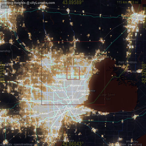

Analysis of Sterling Heights night lights 2016
Square area 10x10 km:
 23.17%
90-99
25.4%80-89
17.46%70-79
28.25%60-69
5.71%50-59
0%40-49
0%30-39
0%20-29
0%10-19
0%0-9
0%Square area 50x50 km:
24.83%90-99
14.43%80-89
6.21%70-79
7.16%60-69
8.24%50-59
4.98%40-49
2.95%30-39
3.25%20-29
5.29%10-19
7.04%0-9
15.6%Clear (daylight) street map image can be seen on geolist.org.
Map coordinates:
43° 5' 45.2" North, 83° 43' 60" West
42° 34' 49.1" North, 83° 1' 48.7" West
42° 3' 37.5" North, 82° 19' 37.5" West
Some cities around Sterling Heights sort by population:
• Warren
10.1 km =6.3 mi,  171°
171°
• Clinton Township
9.1 km =5.7 mi,  85°
85°
• Troy
10.2 km =6.3 mi,  286°
286°
• Shelby
10.1 km =6.3 mi,  358°
358°
• Roseville
12 km =7.5 mi,  140°
140°
• Fraser
8 km =5 mi,  124°
124°
• Clawson
10.8 km =6.7 mi,  241°
241°
• Center Line
10.6 km =6.6 mi,  178°
178°
5011148 (p: 132,052)
Sources (retrieved 2019-11-25):
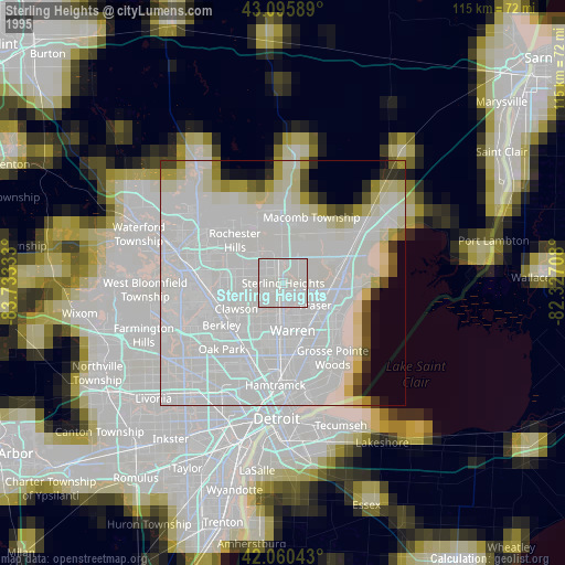
» NASA, Earths city lights 1995
» NASA city lights 2003
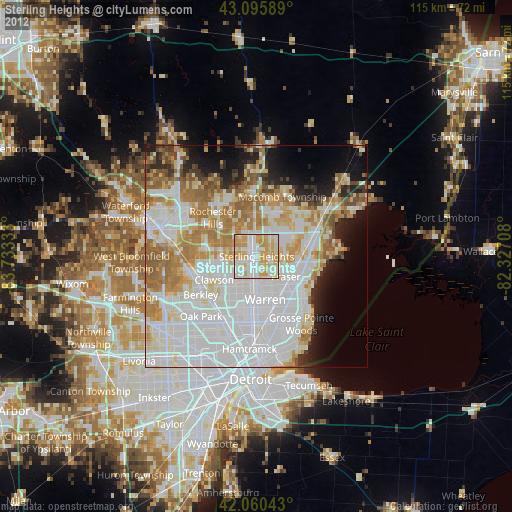
» Earth at Night: Flat Maps 2012, 2016