Roseville night lights from space
Night Light of Roseville (Michigan) from space (United States) Src. Average luminocity for 10x10km area is 96.3% and for 50x50km: 59.9537%.
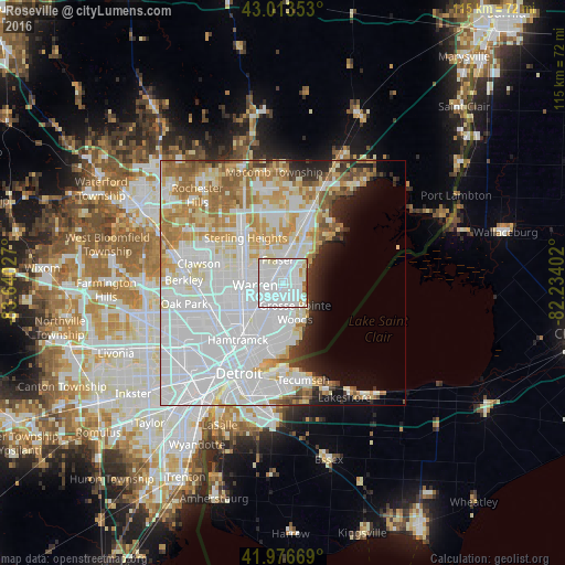
Analysis of Roseville night lights 2016
Square area 10x10 km:
 61.9%
61.9%90-99
29.05%80-89
2.38%70-79
2.54%60-69
1.43%50-59
0.95%40-49
1.43%30-39
0.32%20-29
0%10-19
0%0-9
0%Square area 50x50 km:
28.29%90-99
13.73%80-89
5.69%70-79
6.23%60-69
5.94%50-59
3.39%40-49
1.94%30-39
1.84%20-29
3.32%10-19
4.04%0-9
25.59%Clear (daylight) street map image can be seen on geolist.org.
Map coordinates:
43° 0' 48.7" North, 83° 38' 25" West
42° 29' 50.1" North, 82° 56' 13.7" West
41° 58' 36.1" North, 82° 14' 2.5" West
Some cities around Roseville sort by population:
• Warren
6.3 km =3.9 mi,  263°
263°
• Clinton Township
10.1 km =6.3 mi,  8°
8°
• Saint Clair Shores
4 km =2.5 mi,  90°
90°
• Eastpointe
3.5 km =2.2 mi,  205°
205°
• Grosse Pointe Woods
6.5 km =4 mi,  157°
157°
• Fraser
4.8 km =3 mi,  347°
347°
• Harper Woods
7.2 km =4.5 mi,  171°
171°
• Center Line
7.5 km =4.7 mi, 259°
5007655 (p: 47,637)
Sources (retrieved 2019-11-25):
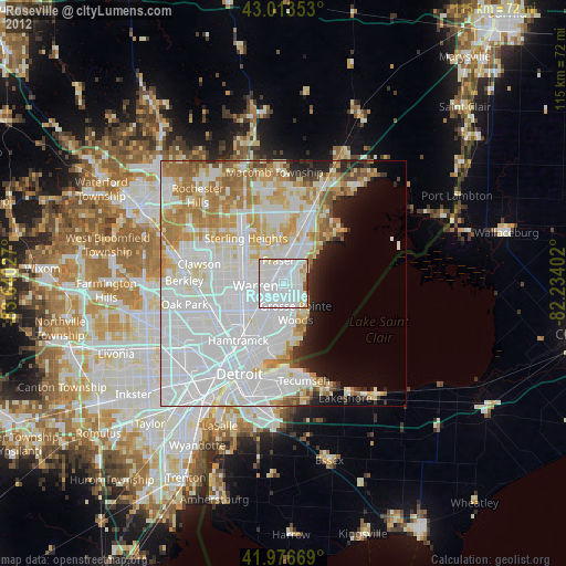
» Earth at Night: Flat Maps 2012, 2016