Warren night lights from space
Night Light of Warren (Michigan) from space (United States) Src. Average luminocity for 10x10km area is 99.1476% and for 50x50km: 70.6618%.
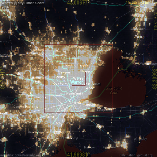
Analysis of Warren night lights 2016
Square area 10x10 km:
 69.21%
90-99
29.68%80-89
1.11%70-79
0%60-69
0%50-59
0%40-49
0%30-39
0%20-29
0%10-19
0%0-9
0%Square area 50x50 km:
32.3%90-99
18.11%80-89
6.55%70-79
7.08%60-69
7.44%50-59
4.05%40-49
1.75%30-39
1.69%20-29
3.19%10-19
3.91%0-9
13.92%Clear (daylight) street map image can be seen on geolist.org.
Map coordinates:
43° 0' 24.4" North, 83° 42' 58.2" West
42° 29' 25.6" North, 83° 0' 46.9" West
41° 58' 11.3" North, 82° 18' 35.7" West
Some cities around Warren sort by population:
• Roseville
6.3 km =3.9 mi,  83°
83°
• Eastpointe
5.3 km =3.3 mi,  117°
117°
• Madison Heights
7.6 km =4.7 mi,  266°
266°
• Hazel Park
8.1 km =5 mi,  247°
247°
• Grosse Pointe Woods
10.1 km =6.3 mi, 120°
• Fraser
7.5 km =4.7 mi,  43°
43°
• Harper Woods
9.7 km =6 mi,  131°
131°
• Center Line
1.3 km =0.8 mi,  243°
243°
5014051 (p: 134,056)
Sources (retrieved 2019-11-25):
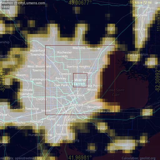
» NASA, Earths city lights 1995
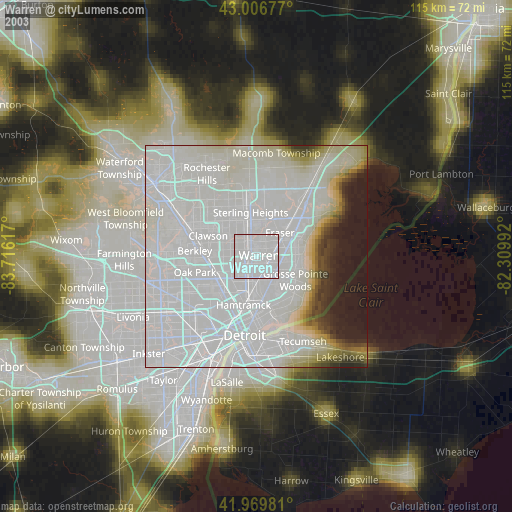
» NASA city lights 2003
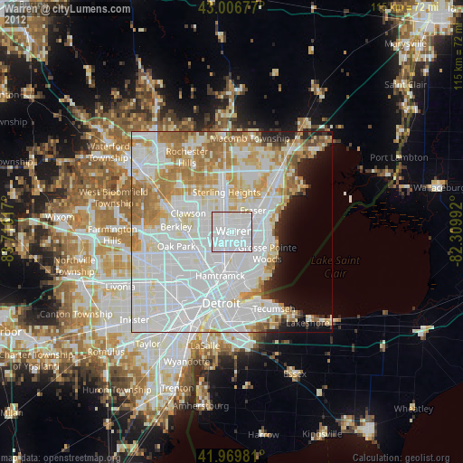
» Earth at Night: Flat Maps 2012, 2016