Spring Creek night lights from space
Night Light of Spring Creek (Nevada) from space (United States) Src. Average luminocity for 10x10km area is 0.8604% and for 50x50km: 1.6707%.
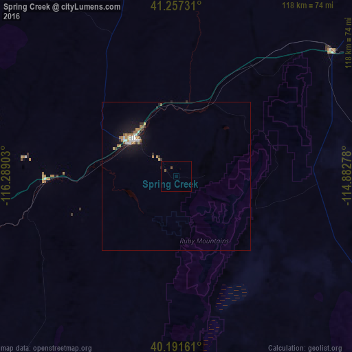
Analysis of Spring Creek night lights 2016
Square area 10x10 km:
 0%
0%90-99
0%80-89
0%70-79
0%60-69
0%50-59
1.3%40-49
0%30-39
0%20-29
0.32%10-19
0%0-9
98.38%Square area 50x50 km:
0.22%90-99
0.23%80-89
0.1%70-79
0.38%60-69
0.22%50-59
0.2%40-49
0.03%30-39
0.19%20-29
0.27%10-19
1.73%0-9
96.43%Clear (daylight) street map image can be seen on geolist.org.
Map coordinates:
41° 15' 26.3" North, 116° 17' 20.5" West
40° 43' 35.7" North, 115° 35' 9.2" West
40° 11' 29.8" North, 114° 52' 58" West
Some cities around Spring Creek sort by population:
• Twin Falls
224.6 km =139.6 mi,  24°
24°
• Elko
19 km =11.8 mi,  308°
308°
• Mountain Home
267.7 km =166.3 mi,  358°
358°
• Jerome
239.1 km =148.6 mi, 21°
• Burley
250.3 km =155.5 mi,  36°
36°
• Grantsville
263.6 km =163.8 mi,  93°
93°
• Winnemucca
182.9 km =113.6 mi,  278°
278°
• Rupert
263.4 km =163.7 mi, 36°
5708894 (p: 12,361)
Sources (retrieved 2019-11-25):
» Earth at Night: Flat Maps 2012, 2016