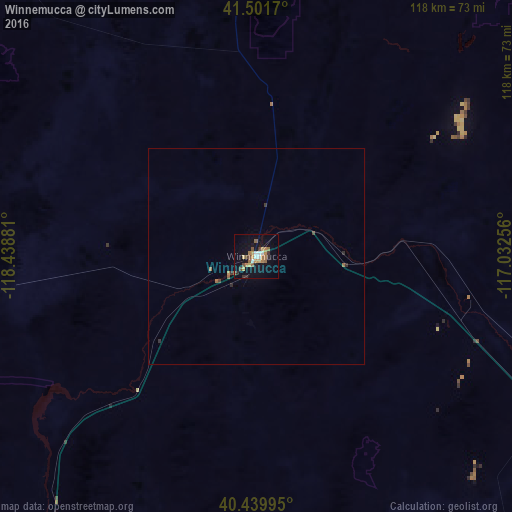
Winnemucca night lights from space
Night Light of Winnemucca (Nevada) from space (United States) Src. Average luminocity for 10x10km area is 21.4303% and for 50x50km: 1.0732%.
Analysis of Winnemucca night lights 2016
Square area 10x10 km:
 2.38%
2.38%90-99
1.7%80-89
3.06%70-79
3.23%60-69
5.44%50-59
2.89%40-49
2.72%30-39
2.04%20-29
1.36%10-19
16.5%0-9
58.67%Square area 50x50 km:
0.09%90-99
0.06%80-89
0.12%70-79
0.15%60-69
0.29%50-59
0.15%40-49
0.14%30-39
0.21%20-29
0.12%10-19
0.63%0-9
98.05%Clear (daylight) street map image can be seen on geolist.org.
Map coordinates:
41° 30' 6.1" North, 118° 26' 19.7" West
40° 58' 22.7" North, 117° 44' 8.4" West
40° 26' 23.8" North, 117° 1' 57.2" West
Some cities around Winnemucca sort by population:
• Elko
166.5 km =103.5 mi,  95°
95°
• Fernley
198.9 km =123.6 mi,  220°
220°
• Sun Valley
231 km =143.5 mi,  228°
228°
• Spanish Springs
222.7 km =138.4 mi, 228°
• Spring Creek
182.9 km =113.6 mi, 98°
• Fallon
188.7 km =117.3 mi,  207°
207°
• Silver Springs
214.4 km =133.2 mi, 216°
• Lemmon Valley
232.4 km =144.4 mi, 230°
5710360 (p: 7,887)
Sources (retrieved 2019-11-25):
» Earth at Night: Flat Maps 2012, 2016