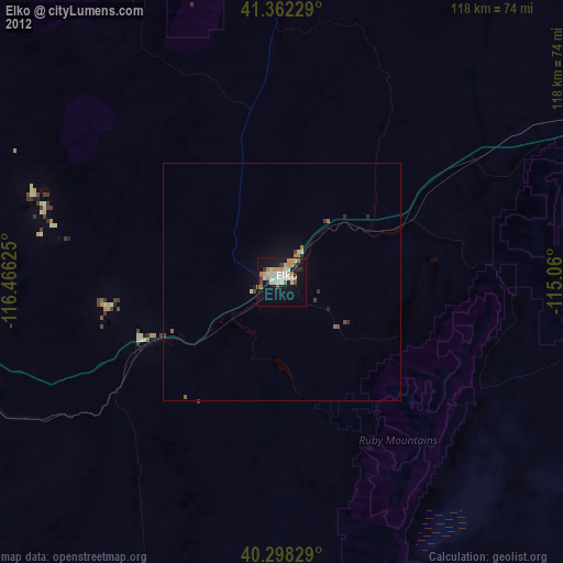
Elko night lights from space
Night Light of Elko (Nevada) from space (United States) Src. Average luminocity for 10x10km area is 32.2279% and for 50x50km: 1.7443%.
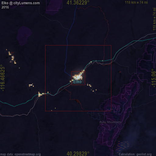
Analysis of Elko night lights 2016
Square area 10x10 km:
 5.61%
5.61%90-99
5.95%80-89
1.36%70-79
7.99%60-69
5.27%50-59
3.06%40-49
0%30-39
2.72%20-29
3.06%10-19
39.29%0-9
25.68%Square area 50x50 km:
0.22%90-99
0.23%80-89
0.1%70-79
0.41%60-69
0.22%50-59
0.2%40-49
0.04%30-39
0.24%20-29
0.28%10-19
1.76%0-9
96.29%Clear (daylight) street map image can be seen on geolist.org.
Map coordinates:
41° 21' 44.2" North, 116° 27' 58.5" West
40° 49' 56.7" North, 115° 45' 47.2" West
40° 17' 53.8" North, 115° 3' 36" West
Some cities around Elko sort by population:
• Twin Falls
220.7 km =137.1 mi,  29°
29°
• Mountain Home
255.9 km =159 mi,  1°
1°
• Spring Creek
19 km =11.8 mi,  128°
128°
• Jerome
234.3 km =145.6 mi, 26°
• Burley
250.3 km =155.5 mi,  40°
40°
• Grantsville
279.2 km =173.5 mi,  95°
95°
• Winnemucca
166.5 km =103.5 mi,  275°
275°
• Rupert
263.5 km =163.7 mi, 41°
5703670 (p: 20,279)
Sources (retrieved 2019-11-25):
» Earth at Night: Flat Maps 2012, 2016