Southglenn night lights from space
Night Light of Southglenn (Colorado) from space (United States) Src. Average luminocity for 10x10km area is 85.7045% and for 50x50km: 52.8005%.
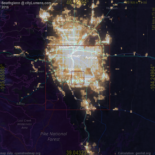
Analysis of Southglenn night lights 2016
Square area 10x10 km:
 19.64%
90-99
23.86%80-89
12.99%70-79
39.94%60-69
3.57%50-59
0%40-49
0%30-39
0%20-29
0%10-19
0%0-9
0%Square area 50x50 km:
15.34%90-99
11.76%80-89
6.43%70-79
9.31%60-69
7.28%50-59
4.87%40-49
4.09%30-39
4.17%20-29
6.01%10-19
8.65%0-9
22.08%Clear (daylight) street map image can be seen on geolist.org.
Map coordinates:
40° 7' 37.1" North, 105° 39' 21.2" West
39° 35' 14" North, 104° 57' 9.9" West
39° 2' 35.6" North, 104° 14' 58.7" West
Some cities around Southglenn sort by population:
• Centennial
6.6 km =4.1 mi,  97°
97°
• Highlands Ranch
4 km =2.5 mi,  201°
201°
• Littleton
6.2 km =3.9 mi,  297°
297°
• Englewood
7.4 km =4.6 mi,  336°
336°
• Castlewood
4.4 km =2.7 mi,  93°
93°
• Greenwood Village
3.3 km =2.1 mi,  2°
2°
• Lone Tree
6.9 km =4.3 mi,  124°
124°
• Cherry Hills Village
6.1 km =3.8 mi,  354°
354°
5439752 (p: 42,268)
Sources (retrieved 2019-11-25):
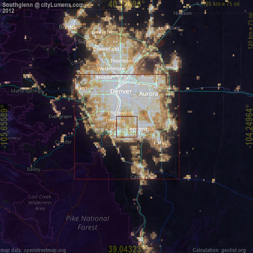
» Earth at Night: Flat Maps 2012, 2016