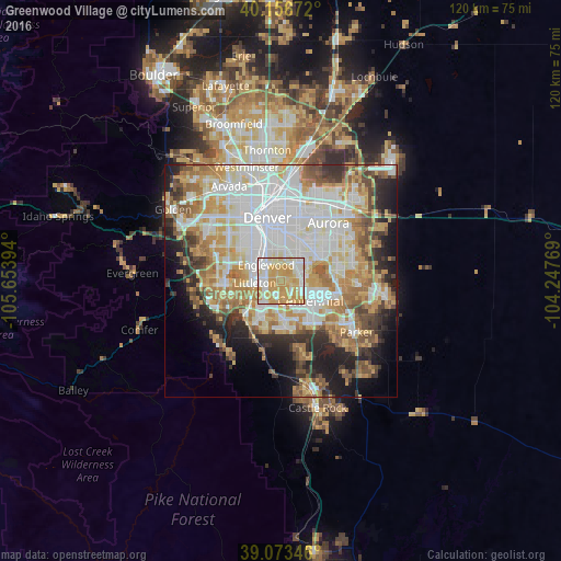
Greenwood Village night lights from space
Night Light of Greenwood Village (Colorado) from space (United States) Src. Average luminocity for 10x10km area is 86.2419% and for 50x50km: 56.9874%.
Analysis of Greenwood Village night lights 2016
Square area 10x10 km:
 19.32%
90-99
23.54%80-89
16.88%70-79
39.12%60-69
1.14%50-59
0%40-49
0%30-39
0%20-29
0%10-19
0%0-9
0%Square area 50x50 km:
16.38%90-99
13.03%80-89
7.06%70-79
9.99%60-69
7.73%50-59
5.26%40-49
4.58%30-39
4.64%20-29
6.26%10-19
8.46%0-9
16.61%Clear (daylight) street map image can be seen on geolist.org.
Map coordinates:
40° 9' 24.2" North, 105° 39' 14.2" West
39° 37' 2" North, 104° 57' 2.9" West
39° 4' 24.5" North, 104° 14' 51.7" West
Some cities around Greenwood Village sort by population:
• Highlands Ranch
7.2 km =4.5 mi,  192°
192°
• Littleton
5.7 km =3.5 mi,  265°
265°
• Southglenn
3.3 km =2.1 mi,  182°
182°
• Englewood
4.6 km =2.9 mi,  317°
317°
• Castlewood
5.6 km =3.5 mi,  130°
130°
• Cherry Creek
6.1 km =3.8 mi,  71°
71°
• Cherry Hills Village
2.8 km =1.7 mi,  344°
344°
• Sheridan
7.2 km =4.5 mi,  297°
297°
5423908 (p: 15,663)
Sources (retrieved 2019-11-25):
» Earth at Night: Flat Maps 2012, 2016