Littleton night lights from space
Night Light of Littleton (Colorado) from space (United States) Src. Average luminocity for 10x10km area is 83.8279% and for 50x50km: 53.2097%.
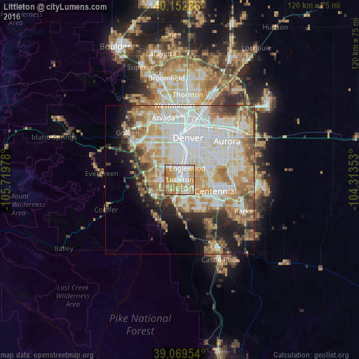
Analysis of Littleton night lights 2016
Square area 10x10 km:
 20.13%
90-99
20.13%80-89
15.58%70-79
25.16%60-69
15.91%50-59
3.08%40-49
0%30-39
0%20-29
0%10-19
0%0-9
0%Square area 50x50 km:
15.97%90-99
12.54%80-89
6.59%70-79
9.2%60-69
7.12%50-59
4.62%40-49
3.79%30-39
3.89%20-29
4.55%10-19
7.04%0-9
24.7%Clear (daylight) street map image can be seen on geolist.org.
Map coordinates:
40° 9' 10.3" North, 105° 43' 11.2" West
39° 36' 48" North, 105° 0' 59.9" West
39° 4' 10.3" North, 104° 18' 48.7" West
Some cities around Littleton sort by population:
• Highlands Ranch
7.7 km =4.8 mi,  148°
148°
• Southglenn
6.2 km =3.9 mi,  117°
117°
• Englewood
4.6 km =2.9 mi,  32°
32°
• Ken Caryl
9.2 km =5.7 mi,  243°
243°
• Columbine
5.3 km =3.3 mi, 237°
• Greenwood Village
5.7 km =3.5 mi,  85°
85°
• Cherry Hills Village
5.8 km =3.6 mi,  57°
57°
• Sheridan
3.8 km =2.4 mi,  348°
348°
5429032 (p: 46,368)
Sources (retrieved 2019-11-25):
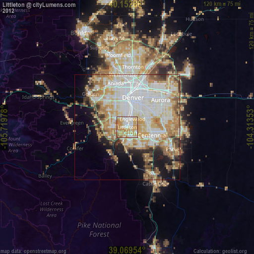
» Earth at Night: Flat Maps 2012, 2016