Englewood night lights from space
Night Light of Englewood (Colorado) from space (United States) Src. Average luminocity for 10x10km area is 91.3961% and for 50x50km: 58.6429%.
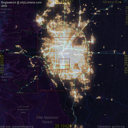
Analysis of Englewood night lights 2016
Square area 10x10 km:
 32.31%
90-99
31.17%80-89
15.26%70-79
19.81%60-69
1.46%50-59
0%40-49
0%30-39
0%20-29
0%10-19
0%0-9
0%Square area 50x50 km:
16.82%90-99
13.59%80-89
7.72%70-79
10.21%60-69
7.74%50-59
5.03%40-49
4.98%30-39
5.12%20-29
6.24%10-19
6.5%0-9
16.06%Clear (daylight) street map image can be seen on geolist.org.
Map coordinates:
40° 11' 13.3" North, 105° 41' 27.2" West
39° 38' 52" North, 104° 59' 15.9" West
39° 6' 15.3" North, 104° 17' 4.7" West
Some cities around Englewood sort by population:
• Littleton
4.6 km =2.9 mi,  212°
212°
• Southglenn
7.4 km =4.6 mi,  156°
156°
• Columbine
9.7 km =6 mi,  226°
226°
• Greenwood Village
4.6 km =2.9 mi,  137°
137°
• Cherry Creek
9.1 km =5.7 mi,  99°
99°
• Cherry Hills Village
2.5 km =1.6 mi,  105°
105°
• Sheridan
3.2 km =2 mi,  268°
268°
• Glendale
7.9 km =4.9 mi,  36°
36°
5421250 (p: 33,082)
Sources (retrieved 2019-11-25):
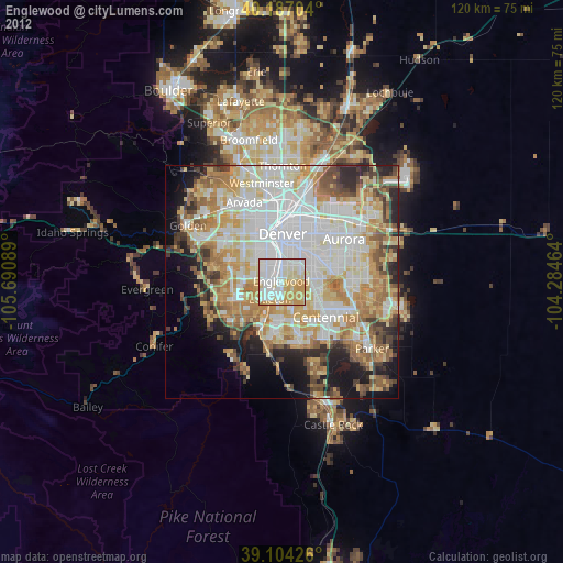
» Earth at Night: Flat Maps 2012, 2016