Highlands Ranch night lights from space
Night Light of Highlands Ranch (Colorado) from space (United States) Src. Average luminocity for 10x10km area is 80.349% and for 50x50km: 48.0191%.
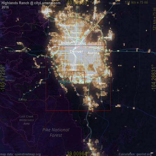
Analysis of Highlands Ranch night lights 2016
Square area 10x10 km:
 14.45%
90-99
21.75%80-89
13.8%70-79
30.36%60-69
10.55%50-59
2.6%40-49
2.27%30-39
2.92%20-29
1.3%10-19
0%0-9
0%Square area 50x50 km:
13.37%90-99
10.4%80-89
5.93%70-79
8.75%60-69
6.89%50-59
4.58%40-49
3.78%30-39
4.13%20-29
5.67%10-19
8.37%0-9
28.12%Clear (daylight) street map image can be seen on geolist.org.
Map coordinates:
40° 5' 38" North, 105° 40' 21.2" West
39° 33' 14" North, 104° 58' 9.9" West
39° 0' 34.7" North, 104° 15' 58.7" West
Some cities around Highlands Ranch sort by population:
• Centennial
8.4 km =5.2 mi,  70°
70°
• Littleton
7.7 km =4.8 mi,  328°
328°
• Southglenn
4 km =2.5 mi,  21°
21°
• Castlewood
6.8 km =4.2 mi,  59°
59°
• Columbine
9.4 km =5.8 mi,  293°
293°
• Greenwood Village
7.2 km =4.5 mi,  12°
12°
• Lone Tree
7.1 km =4.4 mi,  91°
91°
• Cherry Hills Village
9.8 km =6.1 mi, 5°
5425043 (p: 96,713)
Sources (retrieved 2019-11-25):
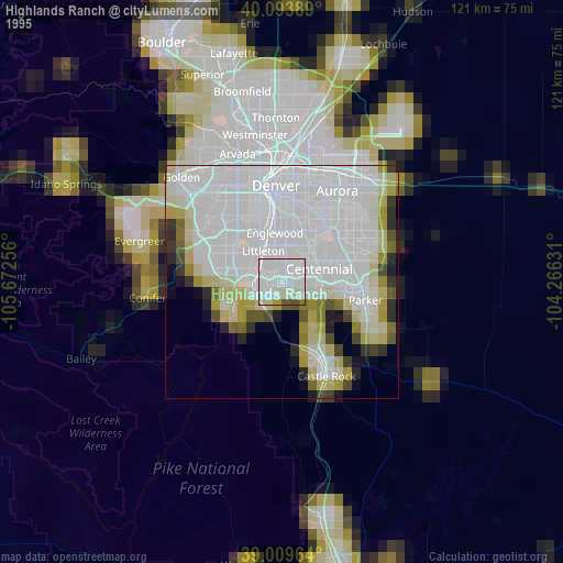
» NASA, Earths city lights 1995
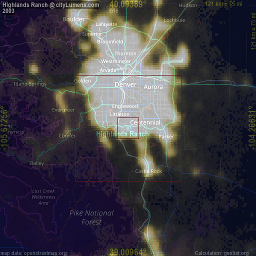
» NASA city lights 2003
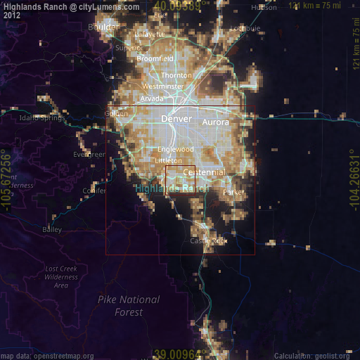
» Earth at Night: Flat Maps 2012, 2016