Castlewood night lights from space
Night Light of Castlewood (Colorado) from space (United States) Src. Average luminocity for 10x10km area is 87.6396% and for 50x50km: 51.552%.
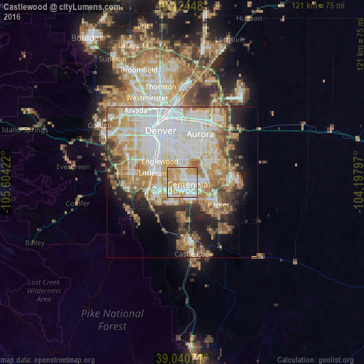
Analysis of Castlewood night lights 2016
Square area 10x10 km:
 25.81%
90-99
25.49%80-89
11.53%70-79
33.6%60-69
3.08%50-59
0.49%40-49
0%30-39
0%20-29
0%10-19
0%0-9
0%Square area 50x50 km:
15.2%90-99
11.59%80-89
6.26%70-79
9.08%60-69
7.15%50-59
4.49%40-49
3.8%30-39
3.81%20-29
5.52%10-19
8.23%0-9
24.87%Clear (daylight) street map image can be seen on geolist.org.
Map coordinates:
40° 7' 28.1" North, 105° 36' 15.2" West
39° 35' 5" North, 104° 54' 3.9" West
39° 2' 26.6" North, 104° 11' 52.7" West
Some cities around Castlewood sort by population:
• Centennial
2.2 km =1.4 mi,  106°
106°
• Highlands Ranch
6.8 km =4.2 mi,  239°
239°
• Southglenn
4.4 km =2.7 mi,  273°
273°
• Greenwood Village
5.6 km =3.5 mi,  310°
310°
• Lone Tree
3.9 km =2.4 mi,  160°
160°
• Cherry Creek
5.8 km =3.6 mi,  15°
15°
• Cherry Hills Village
8.1 km =5 mi,  321°
321°
• Dove Valley
6.2 km =3.9 mi,  97°
97°
5416357 (p: 25,271)
Sources (retrieved 2019-11-25):
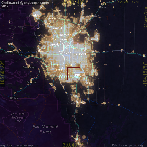
» Earth at Night: Flat Maps 2012, 2016