Smithville night lights from space
Night Light of Smithville (Missouri) from space (United States) Src. Average luminocity for 10x10km area is 13.6565% and for 50x50km: 20.2389%.
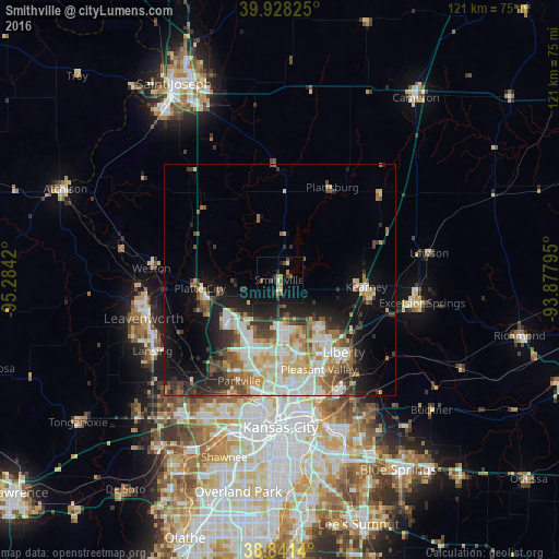
Analysis of Smithville night lights 2016
Square area 10x10 km:
 0.17%
0.17%90-99
1.02%80-89
2.38%70-79
1.19%60-69
1.7%50-59
2.55%40-49
3.23%30-39
1.36%20-29
1.87%10-19
12.93%0-9
71.6%Square area 50x50 km:
3.81%90-99
4.47%80-89
2.74%70-79
2.29%60-69
2.54%50-59
2.5%40-49
2.42%30-39
3.08%20-29
3.67%10-19
8.32%0-9
64.17%Clear (daylight) street map image can be seen on geolist.org.
Map coordinates:
39° 55' 41.7" North, 95° 17' 3.1" West
39° 23' 13" North, 94° 34' 51.9" West
38° 50' 29" North, 93° 52' 40.6" West
Some cities around Smithville sort by population:
• Kansas City
30.6 km =19 mi,  187°
187°
• Leavenworth
30.5 km =19 mi,  253°
253°
• Liberty
21 km =13 mi,  138°
138°
• Gladstone
20.5 km =12.7 mi,  173°
173°
• Lansing
31.5 km =19.6 mi,  240°
240°
• Excelsior Springs
31 km =19.3 mi,  99°
99°
• Kearney
18.9 km =11.7 mi, 96°
• Parkville
23 km =14.3 mi,  202°
202°
4409199 (p: 9,233)
Sources (retrieved 2019-11-25):
» Earth at Night: Flat Maps 2012, 2016