Liberty night lights from space
Night Light of Liberty (Missouri) from space (United States) Src. Average luminocity for 10x10km area is 55.784% and for 50x50km: 38.1391%.
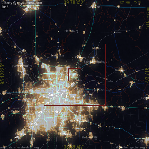
Analysis of Liberty night lights 2016
Square area 10x10 km:
 10.54%
90-99
15.48%80-89
5.44%70-79
5.1%60-69
11.05%50-59
9.69%40-49
6.29%30-39
7.65%20-29
5.1%10-19
15.48%0-9
8.16%Square area 50x50 km:
12.03%90-99
9.48%80-89
5.13%70-79
3.73%60-69
4.05%50-59
3.69%40-49
2.89%30-39
3.14%20-29
3.14%10-19
8.08%0-9
44.64%Clear (daylight) street map image can be seen on geolist.org.
Map coordinates:
39° 47' 18.7" North, 95° 7' 20.1" West
39° 14' 46" North, 94° 25' 8.8" West
38° 41' 58.1" North, 93° 42' 57.6" West
Some cities around Liberty sort by population:
• Kansas City
21.3 km =13.2 mi,  220°
220°
• Kansas City
23.2 km =14.4 mi,  230°
230°
• Independence
17.2 km =10.7 mi,  178°
178°
• East Independence
17.6 km =10.9 mi,  161°
161°
• Gladstone
12.6 km =7.8 mi,  248°
248°
• Excelsior Springs
19.6 km =12.2 mi,  58°
58°
• Kearney
14.4 km =8.9 mi,  19°
19°
• Smithville
21 km =13 mi,  318°
318°
4395052 (p: 30,450)
Sources (retrieved 2019-11-25):
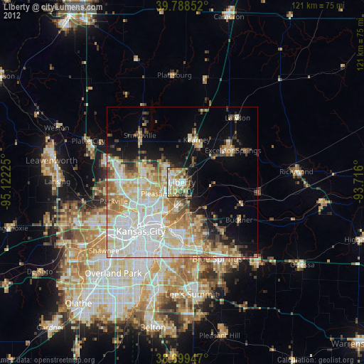
» Earth at Night: Flat Maps 2012, 2016