Sitka night lights from space
Night Light of Sitka (Alaska) from space (United States) Src. Average luminocity for 10x10km area is 7.9852% and for 50x50km: 0.3354%.
Analysis of Sitka night lights 2016
Square area 10x10 km:
 1.48%
1.48%90-99
2.16%80-89
0.45%70-79
0.91%60-69
1.36%50-59
0.34%40-49
0.57%30-39
0.11%20-29
0.34%10-19
0%0-9
92.27%Square area 50x50 km:
0.06%90-99
0.09%80-89
0.02%70-79
0.04%60-69
0.06%50-59
0.01%40-49
0.02%30-39
0%20-29
0.01%10-19
0%0-9
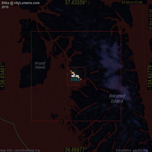
99.68%Clear (daylight) street map image can be seen on geolist.org.
Map coordinates:
57° 26' 0.9" North, 136° 2' 2.4" West
57° 3' 11.3" North, 135° 19' 51.2" West
56° 40' 7.6" North, 134° 37' 39.9" West
Some cities around Sitka sort by population:
• Prince George, CA
864.1 km =536.9 mi,  113°
113°
• Juneau
149 km =92.6 mi,  21°
21°
• Whitehorse, CA
407.6 km =253.3 mi,  2°
2°
• Terrace, CA
506.1 km =314.5 mi,  123°
123°
• Prince Rupert, CA
437.2 km =271.7 mi,  134°
134°
• Kitimat, CA
536 km =333.1 mi, 128°
• Ketchikan
296.8 km =184.4 mi, 129°
• Smithers, CA
567.1 km =352.4 mi, 116°
5557293 (p: 8,863)
Sources (retrieved 2019-11-25):
» Earth at Night: Flat Maps 2012, 2016