Prince George night lights from space
Night Light of Prince George (British Columbia) from space (Canada) Src. Average luminocity for 10x10km area is 45.9537% and for 50x50km: 2.808%.
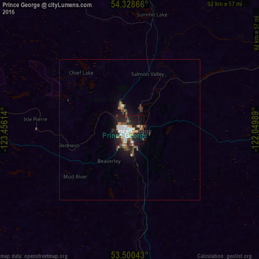


Analysis of Prince George night lights 2016
Square area 10x10 km:
 10.19%
90-99
12.3%80-89
3.44%70-79
6.08%60-69
4.89%50-59
3.04%40-49
3.31%30-39
3.04%20-29
22.22%10-19
23.15%0-9
8.33%Square area 50x50 km:
0.44%90-99
0.53%80-89
0.14%70-79
0.37%60-69
0.37%50-59
0.26%40-49
0.37%30-39
0.35%20-29
1.11%10-19
2.18%0-9
93.87%Clear (daylight) street map image can be seen on geolist.org.
Map coordinates:
54° 19' 43.2" North, 123° 27' 22.1" West
53° 54' 59.8" North, 122° 45' 10.8" West
53° 30' 1.5" North, 122° 2' 59.6" West
Some cities around Prince George sort by population:
• Grande Prairie
290.2 km =180.3 mi,  61°
61°
• Fort St. John
286.2 km =177.8 mi,  24°
24°
• Williams Lake
201.5 km =125.2 mi,  168°
168°
• Quesnel
105.7 km =65.7 mi, 170°
• Dawson Creek
260.5 km =161.9 mi,  38°
38°
• Hanceville
222.9 km =138.5 mi,  185°
185°
• Hinton
345.2 km =214.5 mi,  99°
99°
• Smithers
302.1 km =187.7 mi,  288°
288°
6113365 (p: 65,558)
Sources (retrieved 2019-11-25):
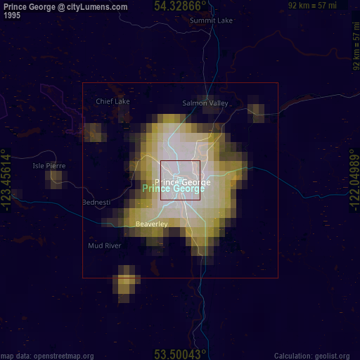
» NASA, Earths city lights 1995
» NASA city lights 2003
» Earth at Night: Flat Maps 2012, 2016