Kitimat night lights from space
Night Light of Kitimat (British Columbia) from space (Canada) Src. Average luminocity for 10x10km area is 10.6288% and for 50x50km: 0.6231%.
Analysis of Kitimat night lights 2016
Square area 10x10 km:
 2.4%
2.4%90-99
2.78%80-89
0.38%70-79
1.14%60-69
0.88%50-59
0%40-49
1.01%30-39
0%20-29
0.51%10-19
3.41%0-9
87.5%Square area 50x50 km:
0.15%90-99
0.18%80-89
0.02%70-79
0.06%60-69
0.04%50-59
0%40-49
0.04%30-39
0%20-29
0.02%10-19
0.15%0-9
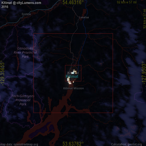
99.35%Clear (daylight) street map image can be seen on geolist.org.
Map coordinates:
54° 27' 47.4" North, 129° 21' 23.6" West
54° 3' 8.8" North, 128° 39' 12.3" West
53° 38' 15.4" North, 127° 57' 1.1" West
Some cities around Kitimat sort by population:
• Prince George
386 km =239.8 mi,  92°
92°
• Vernon
474.3 km =294.7 mi,  160°
160°
• Terrace
51.7 km =32.1 mi,  3°
3°
• Prince Rupert
112.4 km =69.8 mi,  285°
285°
• Quesnel
424.3 km =263.6 mi,  106°
106°
• Hanceville
443.9 km =275.8 mi,  122°
122°
• Ketchikan, US
239.9 km =149.1 mi,  306°
306°
• Smithers
125.3 km =77.9 mi,  49°
49°
5993072 (p: 8,987)
Sources (retrieved 2019-11-25):
» Earth at Night: Flat Maps 2012, 2016