Ketchikan night lights from space
Night Light of Ketchikan (Alaska) from space (United States) Src. Average luminocity for 10x10km area is 7.9258% and for 50x50km: 0.4527%.
Analysis of Ketchikan night lights 2016
Square area 10x10 km:
 1.44%
1.44%90-99
1.79%80-89
0.6%70-79
0.96%60-69
1.91%50-59
0.24%40-49
0%30-39
0.96%20-29
0.48%10-19
0%0-9
91.63%Square area 50x50 km:
0.09%90-99
0.1%80-89
0.02%70-79
0.04%60-69
0.1%50-59
0.08%40-49
0%30-39
0.04%20-29
0.02%10-19
0%0-9
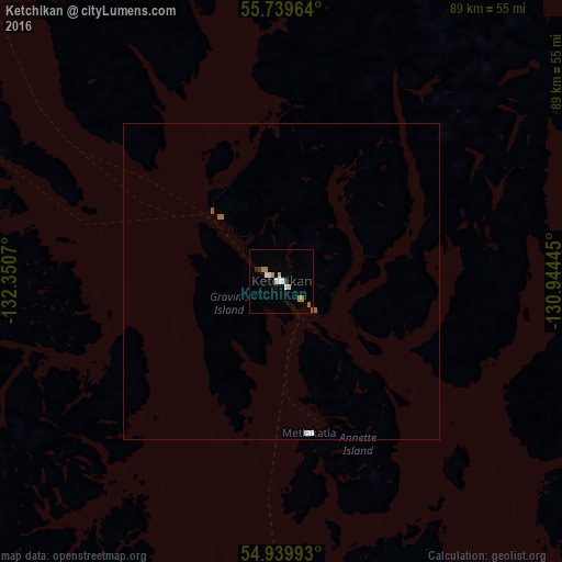
99.51%Clear (daylight) street map image can be seen on geolist.org.
Map coordinates:
55° 44' 22.7" North, 132° 21' 2.5" West
55° 20' 30.5" North, 131° 38' 51.3" West
54° 56' 23.7" North, 130° 56' 40" West
Some cities around Ketchikan sort by population:
• Prince George, CA
593.5 km =368.8 mi,  105°
105°
• Juneau
369.8 km =229.8 mi,  332°
332°
• Whitehorse, CA
630.1 km =391.5 mi,  341°
341°
• Terrace, CA
215 km =133.6 mi,  115°
115°
• Prince Rupert, CA
142.3 km =88.4 mi,  143°
143°
• Kitimat, CA
239.9 km =149.1 mi,  126°
126°
• Sitka
296.8 km =184.4 mi,  309°
309°
• Smithers, CA
291.6 km =181.2 mi,  102°
102°
5554428 (p: 8,197)
Sources (retrieved 2019-11-25):
» Earth at Night: Flat Maps 2012, 2016