Whitehorse night lights from space
Night Light of Whitehorse (Yukon) from space (Canada) Src. Average luminocity for 10x10km area is 36.1764% and for 50x50km: 2.144%.
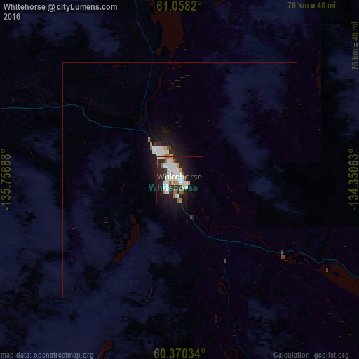
Analysis of Whitehorse night lights 2016
Square area 10x10 km:
 10.61%
90-99
8.23%80-89
2.81%70-79
2.6%60-69
4.76%50-59
2.49%40-49
1.73%30-39
1.95%20-29
14.18%10-19
21.1%0-9
29.55%Square area 50x50 km:
0.55%90-99
0.43%80-89
0.16%70-79
0.12%60-69
0.24%50-59
0.13%40-49
0.11%30-39
0.17%20-29
0.73%10-19
1.98%0-9
95.39%Clear (daylight) street map image can be seen on geolist.org.
Map coordinates:
61° 3' 29.5" North, 135° 45' 24.8" West
60° 42' 58" North, 135° 3' 13.5" West
60° 22' 13.2" North, 134° 21' 2.3" West
Some cities around Whitehorse sort by population:
• Juneau, US
270.8 km =168.3 mi,  172°
172°
• Prince Rupert
765.3 km =475.5 mi,  158°
158°
• Sitka, US
407.6 km =253.3 mi,  182°
182°
• Lakes, US
769.3 km =478 mi,  277°
277°
• Tanaina, US
775.7 km =482 mi, 277°
• Ketchikan, US
630.1 km =391.5 mi, 161°
• Palmer, US
759 km =471.6 mi, 277°
• Gateway, US
765.7 km =475.8 mi, 277°
6180550 (p: 23,272)
Sources (retrieved 2019-11-25):
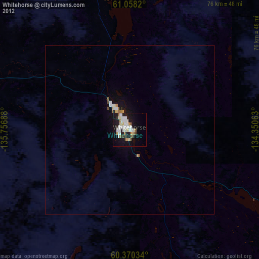
» Earth at Night: Flat Maps 2012, 2016