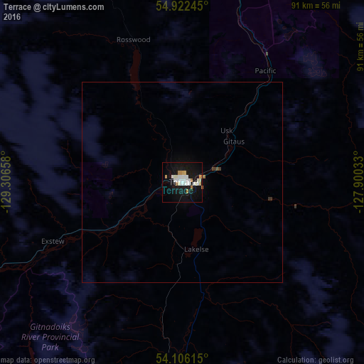
Terrace night lights from space
Night Light of Terrace (British Columbia) from space (Canada) Src. Average luminocity for 10x10km area is 23.4354% and for 50x50km: 1.1311%.
Analysis of Terrace night lights 2016
Square area 10x10 km:
 5.14%
5.14%90-99
7.3%80-89
1.67%70-79
2.63%60-69
1.91%50-59
0%40-49
0%30-39
0%20-29
0%10-19
33.61%0-9
47.73%Square area 50x50 km:
0.21%90-99
0.3%80-89
0.07%70-79
0.12%60-69
0.11%50-59
0.01%40-49
0.01%30-39
0.09%20-29
0%10-19
1.41%0-9
97.66%Clear (daylight) street map image can be seen on geolist.org.
Map coordinates:
54° 55' 20.8" North, 129° 18' 23.7" West
54° 30' 58.8" North, 128° 36' 12.4" West
54° 6' 22.1" North, 127° 54' 1.2" West
Some cities around Terrace sort by population:
• Prince George
386.1 km =239.9 mi,  99°
99°
• Prince Rupert
113.4 km =70.5 mi,  258°
258°
• Williams Lake
503.4 km =312.8 mi,  121°
121°
• Quesnel
436.5 km =271.2 mi,  113°
113°
• Hanceville
469.2 km =291.5 mi,  127°
127°
• Kitimat
51.7 km =32.1 mi,  183°
183°
• Ketchikan, US
215 km =133.6 mi,  295°
295°
• Smithers
96.5 km =60 mi,  72°
72°
6162949 (p: 19,443)
Sources (retrieved 2019-11-25):
» Earth at Night: Flat Maps 2012, 2016