Smithers night lights from space
Night Light of Smithers (British Columbia) from space (Canada) Src. Average luminocity for 10x10km area is 11.6654% and for 50x50km: 0.4984%.
Analysis of Smithers night lights 2016
Square area 10x10 km:
 1%
1%90-99
1%80-89
3.51%70-79
3.13%60-69
1.38%50-59
1%40-49
0%30-39
0%20-29
0%10-19
2.88%0-9
86.09%Square area 50x50 km:
0.04%90-99
0.04%80-89
0.14%70-79
0.12%60-69
0.05%50-59
0.04%40-49
0.04%30-39
0%20-29
0.02%10-19
0.11%0-9
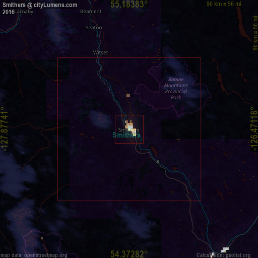
99.4%Clear (daylight) street map image can be seen on geolist.org.
Map coordinates:
55° 11' 1.8" North, 127° 52' 38.7" West
54° 46' 49.3" North, 127° 10' 27.4" West
54° 22' 22.2" North, 126° 28' 16.2" West
Some cities around Smithers sort by population:
• Prince George
302.1 km =187.7 mi,  108°
108°
• Terrace
96.5 km =60 mi,  252°
252°
• Fort St. John
430 km =267.2 mi,  67°
67°
• Prince Rupert
209.4 km =130.1 mi,  255°
255°
• Quesnel
366.3 km =227.6 mi,  123°
123°
• Hanceville
419.8 km =260.9 mi,  139°
139°
• Kitimat
125.3 km =77.9 mi,  229°
229°
• Ketchikan, US
291.6 km =181.2 mi,  282°
282°
6149996 (p: 5,438)
Sources (retrieved 2019-11-25):
» Earth at Night: Flat Maps 2012, 2016