Juneau night lights from space
Night Light of Juneau (Alaska) from space (United States) Src. Average luminocity for 10x10km area is 5.1485% and for 50x50km: 1.17%.
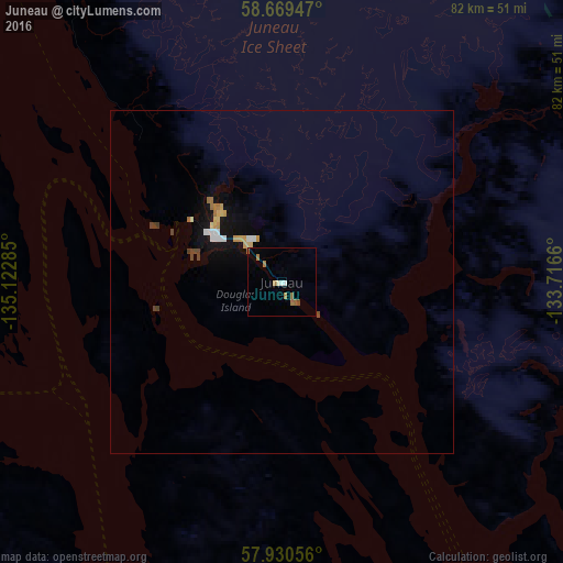
Analysis of Juneau night lights 2016
Square area 10x10 km:
 0.68%
0.68%90-99
0.68%80-89
0%70-79
0.68%60-69
2.72%50-59
0.45%40-49
0.23%30-39
0%20-29
0%10-19
0%0-9
94.56%Square area 50x50 km:
0.15%90-99
0.15%80-89
0.12%70-79
0.21%60-69
0.22%50-59
0.04%40-49
0.2%30-39
0.04%20-29
0%10-19
0.76%0-9
98.1%Clear (daylight) street map image can be seen on geolist.org.
Map coordinates:
58° 40' 10.1" North, 135° 7' 22.3" West
58° 18' 7" North, 134° 25' 11" West
57° 55' 50" North, 133° 42' 59.8" West
Some cities around Juneau sort by population:
• Whitehorse, CA
270.8 km =168.3 mi,  352°
352°
• Terrace, CA
552 km =343 mi,  139°
139°
• Fort St. John, CA
845.2 km =525.2 mi,  105°
105°
• Prince Rupert, CA
510.1 km =317 mi,  150°
150°
• Kitimat, CA
591.7 km =367.7 mi, 142°
• Sitka
149 km =92.6 mi,  201°
201°
• Ketchikan
369.8 km =229.8 mi, 152°
• Smithers, CA
591.6 km =367.6 mi,  131°
131°
5554072 (p: 32,756)
Sources (retrieved 2019-11-25):
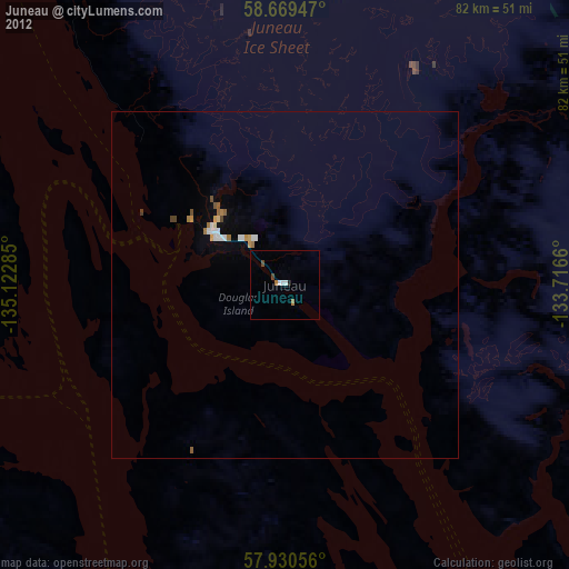
» Earth at Night: Flat Maps 2012, 2016