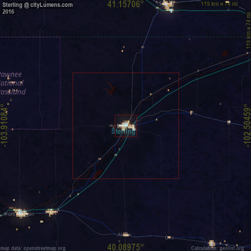
Sterling night lights from space
Night Light of Sterling (Colorado) from space (United States) Src. Average luminocity for 10x10km area is 24.039% and for 50x50km: 1.1975%.
Analysis of Sterling night lights 2016
Square area 10x10 km:
 3.9%
3.9%90-99
4.87%80-89
2.92%70-79
2.76%60-69
2.44%50-59
2.27%40-49
0.32%30-39
3.9%20-29
3.25%10-19
22.24%0-9
51.14%Square area 50x50 km:
0.16%90-99
0.2%80-89
0.12%70-79
0.11%60-69
0.14%50-59
0.12%40-49
0.01%30-39
0.38%20-29
0.17%10-19
0.89%0-9
97.7%Clear (daylight) street map image can be seen on geolist.org.
Map coordinates:
41° 9' 25.4" North, 103° 54' 39" West
40° 37' 31.9" North, 103° 12' 27.8" West
40° 5' 23.1" North, 102° 30' 16.5" West
Some cities around Sterling sort by population:
• Greeley
128.9 km =80.1 mi,  259°
259°
• Evans
128.5 km =79.8 mi, 257°
• Scottsbluff
143.2 km =89 mi,  344°
344°
• Fort Morgan
65.2 km =40.5 mi,  230°
230°
• Gering
138.7 km =86.2 mi, 344°
• Sidney
60.7 km =37.7 mi,  18°
18°
• Milliken
143.2 km =89 mi, 256°
• Brush
53.9 km =33.5 mi,  220°
220°
5582392 (p: 14,104)
Sources (retrieved 2019-11-25):
» Earth at Night: Flat Maps 2012, 2016