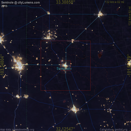
Seminole night lights from space
Night Light of Seminole (Texas) from space (United States) Src. Average luminocity for 10x10km area is 23.792% and for 50x50km: 1.9488%.
Analysis of Seminole night lights 2016
Square area 10x10 km:
 2.45%
2.45%90-99
2.62%80-89
3.67%70-79
4.02%60-69
2.27%50-59
3.15%40-49
4.55%30-39
2.8%20-29
3.32%10-19
26.4%0-9
44.76%Square area 50x50 km:
0.12%90-99
0.11%80-89
0.33%70-79
0.2%60-69
0.29%50-59
0.41%40-49
0.48%30-39
0.2%20-29
0.3%10-19
1.25%0-9
96.31%Clear (daylight) street map image can be seen on geolist.org.
Map coordinates:
33° 18' 30.9" North, 103° 20' 52.9" West
32° 43' 8.4" North, 102° 38' 41.7" West
32° 7' 31.7" North, 101° 56' 30.4" West
Some cities around Seminole sort by population:
• Midland
96.3 km =59.8 mi,  146°
146°
• Hobbs
46 km =28.6 mi,  267°
267°
• West Odessa
98.4 km =61.1 mi,  171°
171°
• Levelland
99.7 km =62 mi,  14°
14°
• Andrews
45.5 km =28.3 mi, 168°
• Lovington
70.3 km =43.7 mi,  290°
290°
• Brownfield
61.9 km =38.5 mi,  33°
33°
• Lamesa
64.9 km =40.3 mi,  88°
88°
5530452 (p: 7,448)
Sources (retrieved 2019-11-25):
» Earth at Night: Flat Maps 2012, 2016