Levelland night lights from space
Night Light of Levelland (Texas) from space (United States) Src. Average luminocity for 10x10km area is 34.9414% and for 50x50km: 2.3392%.
Analysis of Levelland night lights 2016
Square area 10x10 km:
 2.93%
2.93%90-99
3.3%80-89
9.89%70-79
8.61%60-69
5.13%50-59
1.1%40-49
2.75%30-39
4.03%20-29
2.56%10-19
44.51%0-9
15.2%Square area 50x50 km:
0.14%90-99
0.17%80-89
0.61%70-79
0.42%60-69
0.24%50-59
0.19%40-49
0.45%30-39
0.29%20-29
0.22%10-19
1.96%0-9
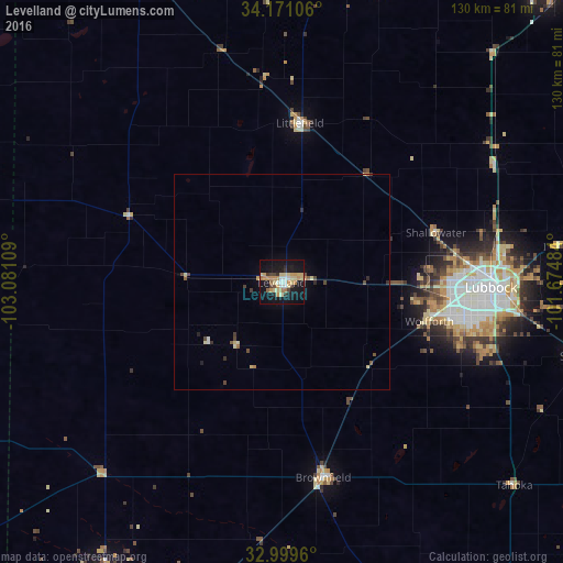
95.31%Clear (daylight) street map image can be seen on geolist.org.
Map coordinates:
34° 10' 15.8" North, 103° 4' 51.9" West
33° 35' 14.4" North, 102° 22' 40.7" West
32° 59' 58.6" North, 101° 40' 29.4" West
Some cities around Levelland sort by population:
• Lubbock
48.4 km =30.1 mi,  91°
91°
• Plainview
90.8 km =56.4 mi,  42°
42°
• Brownfield
46.2 km =28.7 mi,  167°
167°
• Lamesa
102.5 km =63.7 mi,  157°
157°
• Seminole
99.7 km =62 mi,  194°
194°
• Littlefield
37 km =23 mi,  7°
7°
• Slaton
70.1 km =43.6 mi,  103°
103°
• Muleshoe
77.9 km =48.4 mi,  335°
335°
5525042 (p: 13,914)
Sources (retrieved 2019-11-25):
» Earth at Night: Flat Maps 2012, 2016